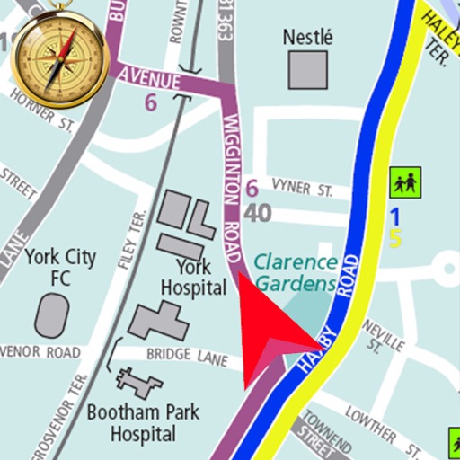
Track vehicle movement with real-time GPS updates. View and save travel routes. Receive location data and map details. Set up alerts for movement and geofencing. Share location with contacts. Sync with devices for navigation assistance.
The app allows users to navigate using real-time imageries like sea surface temperatures and currents. It provides GPS location and point-to-point navigation on dynamic maps, even outside of cell range.
Measure areas using GPS or manual map points for accurate calculations. Switch between and distance modes. Save measurements for later access. Use compass navigation for directional guidance.