Apps Like 大连地铁通 - 大连地铁公交路线查询app for iPhone and iPad
Navigate with real-time subway updates
Access real-time metro data and accurate schedules. Search for routes between locations with transfer options, time, cost, and distance. Receive arrival alerts at stations. Explore nearby dining, shopping, and attractions with integrated navigation.
by 宇舟 高★ 4.836 ratingsNavigationFreeData updated 2026-09-14
Provides glide path guidance for engine failure scenarios, showing optimal routes to nearby runways. It calculates energy-efficient descent paths and displays 3D instrument approaches for U.S. airports.
Track trails with precise GPS mapping and save waypoints. Measure distances and elevation changes. Share routes and view real-time navigation updates. Sync with other devices for collaborative exploration.
Learn essential German phrases for travel, including greetings, dining, transportation, and shopping. Include phonetic spellings for pronunciation. Use the built-in translator for real-time language support.
Find EV with details on charger types, costs, and availability. Search by location, filter by connector type, and view real-time status. Share locations with others and get directions to stations.
View maps of subway system. Find stations, plan routes, and check real-time schedules. Get step-by-step navigation within the network. Search for nearby points of interest and transfer between lines.
Check real-time train schedules for Dublin commuter routes and select stations. Set preferred stations for quick access. View departures and arrivals with accurate timing. Navigate between supported stations within the Dublin commuter area.
Explore cities with augmented reality navigation and offline maps of , El Tigre, and Colonia, Uruguay. View interactive points of interest including transport, dining, and attractions.
Explore underwater ecosystems with guided snorkeling tours and shipwreck dives. Learn to catch spiny lobster with professional instruction. Discover local dining, shopping, and lodging recommendations.
Find restaurants, minyanim, and mikvahs in real-time using location-based search. Filter results by cuisine, price, and distance. Receive daily updates and notifications for new locations nearby.
Navigation provides GPS tracking, map navigation, and route planning. Includes tools, field manuals, and live conflict updates. Users can access guides, track locations, and receive real-time news.
Find routes between Transmilenio and SITP stations
Find optimal routes between Transmilenio and SITP stations with fewer stops. View station details, bus schedules, and maps. Access integrated public transport route information. Use GPS to locate nearest stations or recharge points.
View subway maps for Atlanta, Baltimore, Boston, Chicago, Cleveland, Los Angeles, Miami, New York City, Philadelphia, San Francisco, and Washington. Fullscreen map with one click. Zoom using double click or two fingers. Move map with one finger.
Navigate with GPS maps and real-time traffic updates. Use voice search to plan trips. View street-level details and measure areas on the map. Get turn-by-turn directions and track driving routes. Sync with satellite data for accurate navigation.
View real-time bus locations with route maps. Check next arrival times at major stops. Access full timetables via the website. Note that arrival times may not be accurate.
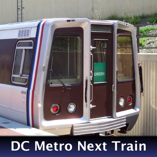
The app provides real-time train arrival information for Washington, DC Metro stations. Users can find their station and see when the next train will arrive, eliminating the need to wait on the platform.
View real-time conditions on metro area freeways and streets. Access a zoomable map with scrollable navigation. Check lists of accidents, construction, and hazards. Get updates on special events impacting .
The app helps users find nearby places like ATMs, gas stations, and restaurants using the iPhone's GPS. Users can customize searches and see the distance to points of interest.
Access real-time subway maps and route information for Suzhou. Find optimal transfer routes with travel time, cost, and distance. Save or share route details as text or images. Bookmark favorite lines and stations.