The app provides a subway map and route planner for navigating Kyiv's subway service. It includes trip cost calculation, station finder with augmented reality, and offline map availability.
Create and manage travel tracks with waypoints. Import and export maps in .gpx format. Use with unlimited storage. Access background barometer and pedometer data. Display color gradients for speed and height.
Provide real-time GPS navigation with voice guidance and live traffic updates. Display 3D maps and satellite views. Offer offline map access and local recommendations for food, events, and activities. Include Google Street View integration.
Navigate off-road trails by dropping waypoints and recording tracks. Explore curated trails and points of interest. Receive real-time hazard alerts and trail conditions. Download maps for offline use. Access detailed weather and elevation data.
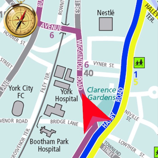
Search routes for accurate and optimized navigation. Use voice guidance for hands-free directions. Find nearby locations like restaurants and gas stations. Adjust simulated GPS locations for testing or privacy. Share current with contacts.
The app provides subway maps and a route planner with travel time and distance. It calculates trip costs and finds nearby stations using augmented reality.
Receive real-time traffic alerts and navigate with voice guidance. Share traffic incident updates with others. View accurate routes and save time by avoiding delays. Contribute to community traffic data through simple submissions.