Apps Like 颐和园语音导游-有内涵、有趣的自助讲解器 for iPhone and iPad
Explore parks with GPS-guided tours
Provides guided audio tours of the Summer Palace's 110+ attractions using GPS. Displays text descriptions, maps, and navigation routes. Automatically plays audio based on location. Includes historical, cultural, and architectural information.
by 立强 孙★ 4.86 ratingsTravelFreeData updated 2026-09-14
Access free and audio guides for cities worldwide. Explore attractions with expert insights and local tips. Navigate with maps and track your progress. Share experiences and discover new sights on the go.
Plan trips, sync itineraries, explore destinations
Create custom itineraries with day-by-day planning. Add and organize attractions from your phone. Sync trips automatically to a website for editing. Share itineraries and view detailed maps.
The app offers self-guided walks with city maps, featuring attractions and hidden gems. Users can explore at their own pace with built-in data, no internet needed.
Provides navigation with detailed vector maps that support zooming at any level. Includes location-based points of interest and allows users to save money on roaming costs.
View maps with zoom functionality and detailed regional coverage. Access interactive points of interest including public transport, dining, and attractions. Explore shopping guides, nightlife options, and navigation tips.
Explore cities with augmented reality navigation. Access maps with zoom capabilities for attractions, public transport, and points of interest. View daily itineraries and budget-friendly recommendations. Find shopping, nightlife, and safety tips.
Explore virtual exhibitions of artworks by Raffaello, Gian Lorenzo Bernini, and other masters. View high-resolution images with detailed descriptions. Navigate through collections of paintings, sculptures, and architectural works.
Explore cities through local stories and communities
Explore cities through local stories and community insights. Discover hidden spots, cultural events, and historical landmarks. Navigate with maps and get real-time updates on local happenings.
The app provides offline navigation using GPS and compass data. It features an augmented reality mode for overlaying target locations and a radar view to see nearby points of interest.
Explore city streets with self-guided walking tours highlighting famous attractions and hidden spots. Use an interactive map to navigate, locate points of interest, and track your route. Save favorite locations and receive real-time directions.
Provides maps for navigation without internet connection. Includes detailed vector maps with zoom capabilities. Displays points of interest and updated locations. Helps avoid roaming charges by using local data.
The app offers multimedia circuits for exploring the territory and its heritage. GPS automatically triggers content like audio, quizzes, and videos along chosen routes for cycling or driving.
Navigate using augmented reality for location-based directions. View zoomable maps detailed regional coverage. Explore interactive points of interest including public transport, restaurants, and attractions.
The app provides information on Taitung's transportation, themed itineraries, restaurants, accommodation, and attractions. It includes visitor reviews and details on public transportation and offshore island travel.
Access charts for based on CHS data. Create and manage boating routes with route manager. Import GPX/KML files. Use voice prompts for . View nautical charts with course orientation.
The app transforms a Mac into a chart plotter for boating trips using UKHO data for the UK and Ireland. It displays GPS and AIS data, offers route planning, and provides navigation information with alarms.
Explore locations in Republic with interactive maps and detailed descriptions. View photos and historical context of filming sites. Navigate between locations with step-by-step directions.
Capture photos with embedded GPS coordinates and timestamps. View live maps and customize location details including addresses and map types. Edit geotag settings and share tagged images with precise location data.
Access event schedules, new updates, and multimedia galleries. View location maps and festival details. Receive real-time information about activities and cultural events. Stay updated with news and participant guides.
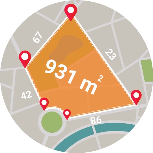
Calculate areas, plots, and distances using GPS technology. Draw and map regions on a map. Measure perimeter and of custom shapes. Save and share measurement data. Export maps in various formats.