The app displays GPS information including address, latitude, longitude, altitude, and speed on a map. It also shows directions for north, south, east, and west, along with true and magnetic north.
The app provides nautical charts for Finnish sea and freshwater areas. Users can view approximate locations, marina information, and create points of interest.
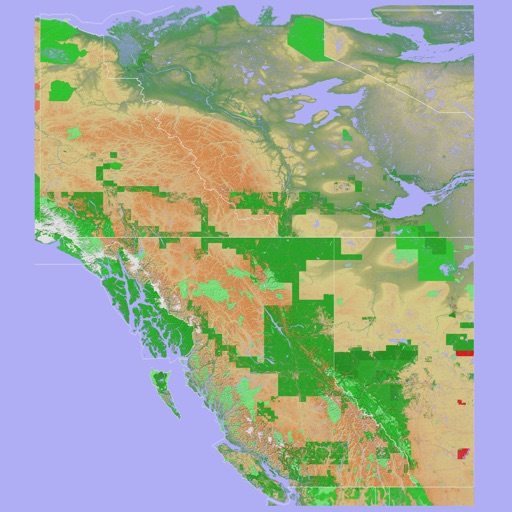
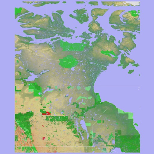
The app provides a 3D topographical map of Western Canada. Map data downloads to the device for use without an internet connection, allowing users to view terrain features as small as ten meters.
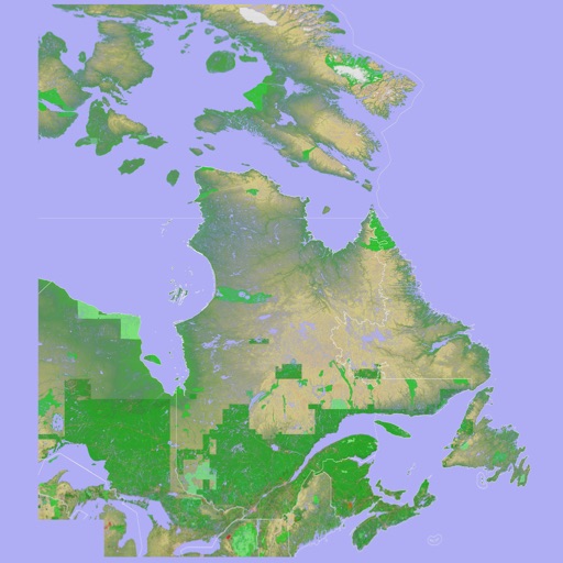
The app presents a 3D topographic map of Eastern Canada. Users can download map data for use without an internet connection, suitable for various travel methods.