View nautical charts for boaters, anglers, and sailors. Overlay charts in a prioritized order based on scale. Navigate continuously without manual chart changes. Access small craft and harbor charts instantly. Adjust chart display for easy reading.
Navigate using and compass to locate targets. View a smart arrow indicating direction to the target. Display speed, altitude, and distance to the target. Includes a built-in compass for orientation.
Record and view hiking tracks with detailed topographic . Navigate routes using GPS coordinates. Mark waypoints and save locations. Display elevation changes and compass direction. Sync with Apple Health for activity tracking.
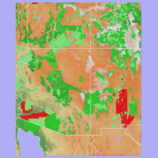
The app provides 3D topographic maps for iPad and iPhone. Vector map data is contained within the app for offline use, supporting navigation in various environments.
Navigate using distance and direction without a map. Set destinations and receive step-by-step guidance. Track progress and view distance metrics. Works independently on Apple Watch with GPS.
Access real-time and TAF reports for accurate aviation weather data. View wind speed, visibility, temperature, and cloud coverage. Set location preferences and receive updates. Share reports via email or messaging.