Calculate and oxygen consumption based on altitude. Display ranges as colored rings on an interactive map. Adjust altitude to see updated range projections. Show overlapping airports with sufficient resources for safe landing.
The app connects to QSC DCPs via Ethernet and Wi-Fi routers. Password protection limits control to authorized devices, making it suitable for boothless theaters.
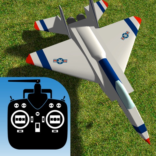
The app simulates flying radio-controlled model airplanes with realistic flight dynamics and ground handling. It offers various aircraft, control options, and camera views for practice and learning.