The app calculates radio budget based on terrain profile and radio parameters. It computes earth bulge, diffraction loss, and attenuation loss for O2 and vapor.
Calculate budget between two locations. Check locations on a map. Compute Fresnel Radius, Earth Bulge, and attenuation loss for O2 and vapour. Determine fade margin. Export results as text or PDF.
RF calculator for productivity. Calculate path loss using transmitter power, antenna gain, cable loss, distance, and frequency. Determine microwave dish beamwidth and gain with dish size, frequency, and efficiency.
Customize motor assist settings like Max Power, Assist Factor, and Pedal Response. Track ride activities and get real-time range calculations. Use navigation features to locate destinations.
The app calculates power flux density, electric and magnetic field strength from transmitted power, frequency, and antenna gain. It also computes receiver input power from receiving antenna gain, assuming theoretical values.
Kal enables typing of Fidel characters with double tap or slide gestures. It includes an advanced word prediction algorithm for Amharic dictionary to enhance typing speed. Users can access multiple keys through gesture inputs.
Create scatterplots and fit simple or multiple linear, logistic, or exponential models. Display standard errors, confidence intervals, and P-values for model parameters. Include categorical predictors and two-way interactions.
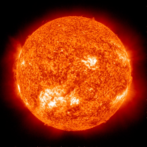
Track radio propagation between any two global locations. Estimate HF conditions using forecasting tools. View solar activity data and propagation graphs. Set alerts for optimal listening times. Share forecasts with other users.
View project data for d&b loudspeaker systems. Access calculations and optimization details. Share files via email, AirDrop, Dropbox, or iTunes. Open data on iOS devices.
Measure areas and distances on maps by placing points and calculating the between them. Save and edit measurements. Switch between different units for distance and . Calculate total of a route or individual segments.
Create and edit 3D models using for iPad and Web. View 3D projects without a subscription. Collaborate on designs, adjust materials, and export models in various formats. Access free 7-day trial for full features.
Arthur Eduardo Skaetta Alvarez Desenvolvimento de Software LTDA.
Distances and areas with GPS
Distances and areas using satellite images. Tap the map to add markers and calculate distances or enclosed areas. Search for addresses to locate measurement points. Support multiple units including square feet and square meters.