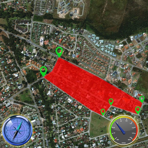
Apps Like Mapifi Me: 2D Live Navigation for iPhone and iPad
Search destinations, get shortest routes, navigate
Find locations and plan routes using a 2D map. Search for points of interest or destinations. View the shortest route on the map. Navigate with a simplified interface.
by Yasir Majeed★ 0.00 ratingsNavigationFreeData updated 2026-09-14
Plan trips using current location, landmarks, stop numbers, or addresses. Set departure or arrival times and preferences for shortest walking distance or fewest transfers. Find nearby bus stops with GPS. View real-time bus schedules.
Track trails with precise GPS mapping and save waypoints. Measure distances and elevation changes. Share routes and view real-time navigation updates. Sync with other devices for collaborative exploration.
Navigate TTC transit system with real-time route planning and step-by-step directions. View maps, bus routes, and schedules. Tap to tap PRESTO card for fare payments. Track your location and receive updates on service delays or disruptions.
The app offers offline map support and complete navigation functions. It provides voice guidance, destination information, and next turn details for various vehicle types.
Find Points of Interest with detailed categories including hotels, banks, toilets, tourist attractions, and more. View offline with stored routes. Search for locations and navigate using built-in directions.
Share trips with friends and family, receiving personalized turn-by-turn directions to a common destination. Track mileage, set geofenced areas, and receive automated safety alerts. View map locations and update trip status in real time.
Access real-time location tracking and search for destinations within Seoul. Use maps for navigation without internet. View maps with route details and locate nearby stations. Switch between English, Chinese, Japanese, and Korean language options.
Navigate Mexico City using an interactive map that displays Metrobús lines, stations, and other transportation options. Plan routes, view schedules, and get real-time updates.
Track routes using GPS navigation, pause and resume routes, and view route statistics. Log finds with details like name, category, and location. Take photos of finds. Toggle between satellite, hybrid, and standard maps.
Plan routes online and send them to the with one click. View routes on a map with spoken navigation and visual arrows. Record trips and sync them with www..org. Track start and destination points for ideal connections.
Locate yourself using GPS and map verification. Find routes visually or via search. View real-time transit updates. Plan trips within the Helsinki area. Track public transportation schedules and delays.
Provides maps for navigation without internet connection. Displays detailed vector maps with continuous updates. Allows zooming at any level. Helps avoid roaming charges by using local data.
Provides maps for navigation without internet connection. Displays detailed vector maps with continuous updates. Allows zooming at any level. Helps avoid roaming charges by using local data.
Provide real-time GPS navigation with turn-by-turn voice guidance and live traffic updates. Display speed limits and alert drivers to traps. Access offline maps for areas without internet. Share routes and track progress during trips.
Navigate MTR system with real-time schedules and station maps. Search for routes between locations. Tap to view nearby stations and exit points. Pay fares using an Octopus card. Receive updates on delays and service changes.