Displays real-time device orientation relative to magnetic fields. Switch between true and magnetic North. Shows location coordinates, course, speed, and altitude. Tracks movement and provides directional data.
CEBINDEKI PAZAR E-TICARET ALISVERIS HIZMETLERI SANAYI VE TICARET LIMITED SIRKETI
Speed in mph, km/h, and knots
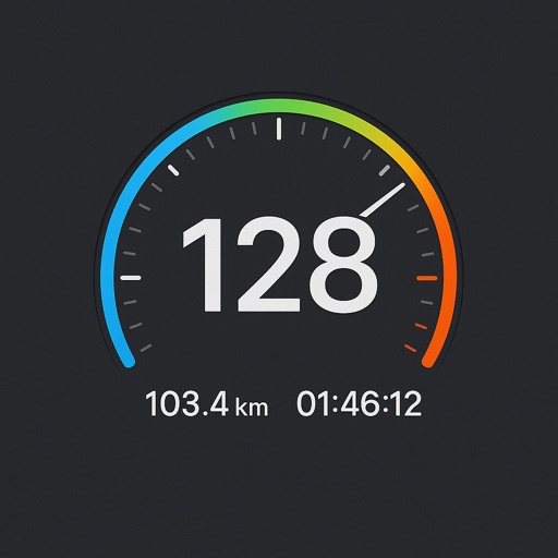
Display current speed in mph, km/h, or knots with large fonts. Show traveled distance and optional average/max speed. Include city name and compass. Use GPS for accurate speed tracking. Switch between base maps for driving visibility.
Check weather, wind, wave, and tide for any offshore location up to 16 days in advance. Save unlimited favorite points for quick access. Track real-time conditions and plan ocean activities.
The app records and exports user trips for geo-tagging or trip management. It displays live paths on a map and provides details like speed, distance, and altitude.
Monitor current, average, and top in real time using GPS. Switch between mph and km/h. Track during driving, cycling, running, or outdoor activities. Display data clearly and continuously.
Get current coordinates in latitude/longitude and MGRS format along with altitude, course, and speed. Toggle features on or off to customize the interface. View accurate location data for navigation purposes.
Track and distance with real-time GPS. Log trips and view detailed statistics. Use drag meter for performance analysis. Monitor odometer and fuel efficiency. Access advanced HUD display for driving insights.
Create combinations by dragging and dropping elements to generate new items. Results include emotions, materials, places, or pop culture references. Use creations in further combinations. Unlock longer word combinations to advance levels.
Calculate routes and determine points on Rhumb Line, Great Circle, and WGS84. Compute average speed and estimated time of arrival. Plan routes with manual waypoints and create waypoint routes. Support composite sailing calculations.