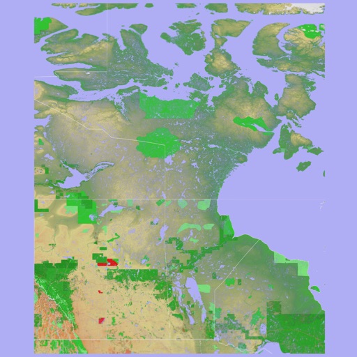
The app provides a 3D topographical map of Western Canada. Map data downloads to the device for use without an internet connection, allowing users to view terrain features as small as ten meters.
The app presents a 3D topographic map of Eastern Canada. Users can download map data for use without an internet connection, suitable for various travel methods.
Create passage plans by selecting waypoints from a database. Calculate true course and distance. Automatically determine magnetic variation and derive magnetic heading.
The app displays temperature, weather, and wind details for the current location. Users can move the map to update information, including temperature in Fahrenheit, Celsius, and Kelvin, wind direction and speed, air pressure, and humidity.