Ships and vessels in real time using interactive maps. View detailed AIS data including speed, course, and location. Explore global marine traffic and identify cargo ships, cruise liners, tankers, and fishing boats.
View grib files with detailed wind and wave data. Display basic charts and simple instruments. Use anchor alarm feature. View shapefiles like SHOM data. Receive boat position input from external sources.
Monitor strength and network speed in real time. Locate towers using radar and view detailed information. Access 5G, 4G, and LTE coverage maps based on public data. Test network speeds and track performance changes.
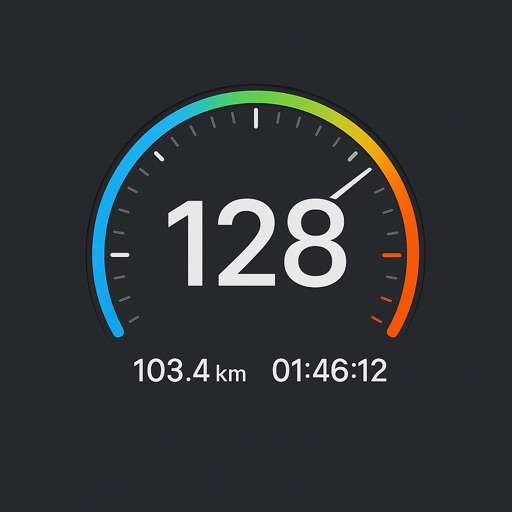
Track speed with a digital for real-time accuracy. Use the head-up display to project speed and essential data onto the screen. Monitor distance, time, and elevation. Set speed limits and receive alerts.
GPS OS allows users to determine their location on Ordnance Survey maps of Great Britain and Ireland without needing a phone signal. It provides high-accuracy positioning using OSTN15 transformation data.
Record video in low, medium, or high resolution with optional audio and image stabilization. Capture GPS location, speed, and timestamp. Play clips alongside maps with synchronized markers. Export videos with embedded map data and dynamic markers.
Track speed, distance, elevation gain, and calorie consumption during rides. View real-time progress and set training goals. Sync data with smartphone or ROX GPS Bike Computer. Share achievements with friends or social media.
Track vehicles with real-time GPS updates. Optimize routes to minimize fuel costs. Monitor fuel consumption and temperature data. Set alerts for vehicle status and maintenance needs. Manage fleet operations remotely with automation tools.
Monitor vehicle data in real-time and retrospectively. Receive alerts for speed limit violations and fuel efficiency metrics. Generate reports on vehicle performance and usage. Track vehicle location and receive instant notifications.
Monitor vehicle movement, ignition status, and location in real time. Send commands like messages and route instructions. View detailed movement tracks with speed, fuel levels, and other data on a map.