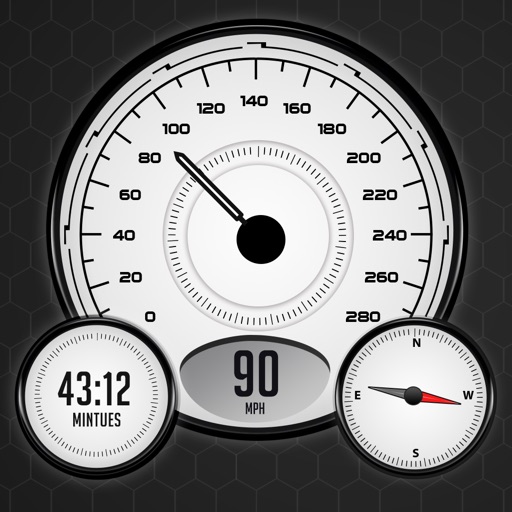
Track speed, distance, and odometer in real time. Switch between various velocity units. Measure movement in both forward and reverse directions. Sync with other apps for data tracking.
Access for the USA, Canada, UK/Ireland, Germany, Netherlands, and European rivers. View NOAA vector , freshwater lake maps, and USACE inland river maps with bathymetry data. Create or import GPX/KML routes. Use voice prompts for route navigation.
Track distance using highly accurate GPS and location data. Save trips to history and export data as a .csv file. Runs in the background for continuous tracking. Suitable for road trips, biking, walking, and other motion activities.
Monitor real-time GPS accuracy and switch between latitude/longitude and DMS formats. Copy with one tap. Toggle between metric, imperial, and nautical units. View location data quickly with a simple, reliable interface.
Track outdoor activities like hiking, biking, walking, and running with GPS. Save and navigate to waypoints. Store favorite destinations. View activity logs and maps. Share routes and track progress.
Calculate fees based on truck specifications including weight, height, axle, trailer, and dual tires. Input two addresses to compare up to three routes. Provide accurate cost estimates for US and Canadian roads.
Manage GPS tracking for vehicles, valuables, and people. View real-time locations, receive alerts, and access historical data. Set up tracking profiles and monitor multiple devices from a single account.
Track , distance, and performance with real-time GPS data. Display in mph and km. Log trips and view historical records. Set alerts and monitor journey details. Sync data across devices for ongoing performance analysis.
Track distance and pace in Run/Walk Mode with mile beeps. Monitor average and current speed in Bike Mode. Driving Mode provides detailed tracking for data export. Supports both miles and kilometers.
Arthur Eduardo Skaetta Alvarez Desenvolvimento de Software LTDA.
Distances and areas with GPS
Distances and areas using satellite images. Tap the map to add markers and calculate distances or enclosed areas. Search for addresses to locate measurement points. Support multiple units including square feet and square meters.
Distances and areas on satellite maps. Select points to calculate length or size. Save measurements and share results. Compatible with various map views and zoom levels.
Calculate using coordinates with options for square meters, feet, acres, hectares, kilometers, and miles. Measure distance between points. Premium users can save areas, add notes, attach images, and calculate prices based on values.
Track elevation and atmospheric pressure with and barometer. Use compass for direction based on satellite location. Access weather updates and speedometer. Log steps with pedometer. View maps and use binoculars for scouting.