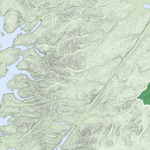
Plan and track outdoor routes with 3D terrain views. Measure elevation changes and distance. Save and share custom trails. Access real-time GPS navigation and offline maps. Adjust routes based on elevation and difficulty.
View topographic maps of New Zealand's . Locate current position via GPS. Search for place names. Access map data offline without cellular coverage. Display detailed terrain and geographical features.
Locate and navigate to graves of Tzadikim and Rabbanim in real time. Choose between miles or kilometers. View locations of over a thousand graves across Israel, Europe, Morocco, North Africa, and the Middle East. Search by country or region.
The app provides digital maps of Austria with hill shading and object names. It includes topographic maps and offers functions like searching by name or coordinates, GPS features, and measuring distances.
Track current location and order a with one tap. Set destination manually on a map. Schedule pickup for a later time. View estimated arrival time and driver details. Confirm ride and pay upon arrival.
View and navigate mapping data with a touch interface. Access Ordnance Survey for Great Britain at 1:50000 scale. Explore worldwide coverage with detailed topographic and road layers. Search for locations, zoom, and pan across .