Allows users to extract and compare features using AKAZE, ORB, and BRISK methods. It supports feature matching in images and is designed for educational use in lectures.
by Hiroaki SAWANO★ 0.00 ratingsEducationFreeData updated 2026-09-14
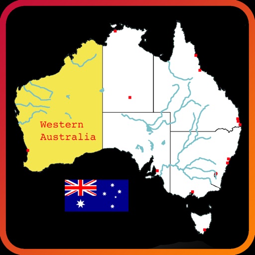
Explore an interactive map of to learn about rivers, lakes, mountain ranges, states, and city locations. Tap and drag to navigate, zoom, select, highlight, and pan the map. Test knowledge with a quiz mode. Build custom maps with selected features.
Camera allows users to capture and analyze images using connected TTM 260i devices. View temperature readings, adjust color palettes, and save or share images. Supports real-time imaging and basic image editing features.