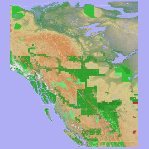
The app provides a 3D topographical map of Western Canada. Map data downloads to the device for use without an internet connection, allowing users to view terrain features as small as ten meters.
Perform aeronautical calculations including wind correction, fuel planning, and time-speed-distance. Input data to compute required values. Access multiple calculation modes and reference charts. Save and review calculation history.
Plan flights with detailed aircraft profiles and radio frequency access. Calculate fuel requirements and flight times. Manage pre-flight checklists and weather data. Track in-flight performance and adjust routes as needed.
Navigate with detailed interactive maps covering Canada, the USA, the UK, Germany, and Australia. Access aerodrome and airport data, airspace restrictions, and flight planning tools.