

Apps Like Helitab Flight Planner for iPhone and iPad
Helitab Flight Planner screenshots
Ranked alternatives
Showing 621–640 of 1,000 ranked alternatives.

Lokimaps
Shingle Oy
Navigate with accurate
View topographic of with detailed scale options and lake depth information. Access property data via in- purchase. Download for offline use. Navigate using precise map data and location features.

ShipXplorer · Ship Tracker
AirNav Systems LLC
Track vessel positions in real-time
Track vessel positions in real-time using AIS data. View latitude, longitude, speed, course, and draught. Identify vessels by unique ID. Access global coverage with accurate maritime tracking.


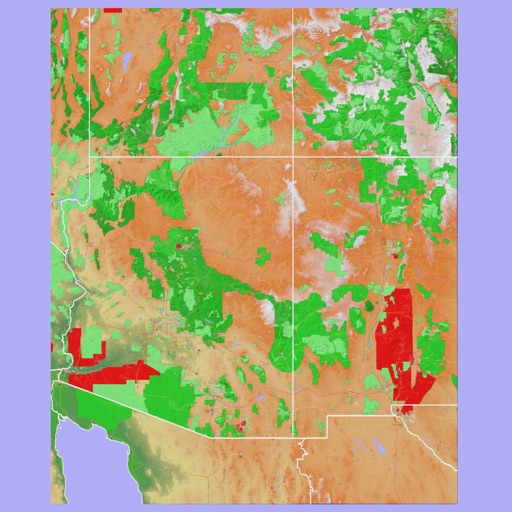
Scenic Map Grand Canyon
Mark Granger
Explore landscapes in three dimensions.
The app provides 3D topographic maps for iPad and iPhone. Vector map data is contained within the app for offline use, supporting navigation in various environments.



Motobit motorcycle navigation
motobit GmbH
Plan routes, track tours, and navigate safely
Plan routes using four methods: fast with highway, fast without highway, winding, and sport/touring. Navigate with turn-by-turn GPS via audio or display. Track tours and join a community of riders. Share routes and view real-time traffic updates.


Helicopter Simulator 2015
Thetis Consulting
Fly helicopters, avoid traffic, and land safely
Control a with realistic flight mechanics. Navigate through urban environments with traffic, blimps, and cruise ships. Land on rooftops, parking lots, or an aircraft carrier. Fire missiles from an Apache .



GPS Maps & Driving Directions
Mudassar Ahmed
Navigate with real-time routes and 3D
Find routes with real-time traffic updates and voice-guided . View 3D aerial and use a digital compass for orientation. Plan trips with AI-generated itineraries and track progress toward destinations.


RT-Nav
Hilton's Fishing Charts, L.L.C.
Navigate on real-time imageries anywhere.
The app allows users to navigate using real-time imageries like sea surface temperatures and currents. It provides GPS location and point-to-point navigation on dynamic maps, even outside of cell range.


Mistral Gliders
0xBurg
Track flights, locate , view live positions
Track , paragliders, planes, and helicopters in real time with live position and flight path data. View airfield details including frequencies, runways, and METAR reports. Access rain radar, cloud layers, and flight time calculations.
How we rank alternatives
Apps are ranked by functional similarity, category fit, rating confidence, and popularity.