Track vehicle hours and monitor driver compliance with real-time GPS data. Receive alerts for potential violations. Calculate IFTA miles automatically. Log and review driving records. Sync with fleet management systems.
by Bizringer Inc★ 4.71,447 ratingsNavigationFreeData updated 2026-09-13
Track vehicle locations in real time using GPS. Monitor assets and employees remotely. Set geofences and receive alerts. View detailed trip data and fuel consumption. Manage multiple devices from a single dashboard.
Detect bumps and potholes in real time while driving. View driving statistics, bump history, and earned RoadCoins on a dashboard. Receive premium alerts for road hazards and contribute to a community road map to improve road conditions.
Manage ride requests and accept trips instantly. Use real-time GPS for navigation. Track earnings during each trip. Set flexible driving schedules. View and respond to customer ratings.
Track vehicles in real time using GPS. View location data, set geofences, and receive alerts. Integrate with 900+ GPS tracker devices. Manage multiple vehicles and access historical movement logs.
Record data including , average , distance, altitude, and elapsed time. View real-time GPS tracking with longitude and latitude. Monitor statistics and save history. Sync with devices for offline navigation.
Manage search and rescue operations with real-time tracking of personnel and assets. View maps, update incident details, and communicate with team members. Access historical data and generate reports. Share updates and receive alerts during missions.
Track vehicle location in real time using GPS. View speed, direction, and route. Receive alerts for unauthorized movement. Log trip data and generate reports. Share location with contacts.
Track locations in real-time using GPS. View maps with turn-by-turn directions. Save and share trip history. Set arrival alerts and customize route preferences.
The app provides real-time updates on deliveries, including errors and location tracking via GPS. It also records customer signatures and allows drivers to photograph damaged deliveries or property.
Track vehicle and employee locations in real time using a simple map interface. Set geofences, receive alerts, and view movement history. Manage fleet operations and monitor staff activities with GPS data.
The app provides an oil field ticketing and truck tracking platform. It captures electronic tickets for various load types and reports data in real time, alerting dispatchers to unusual driver activity.
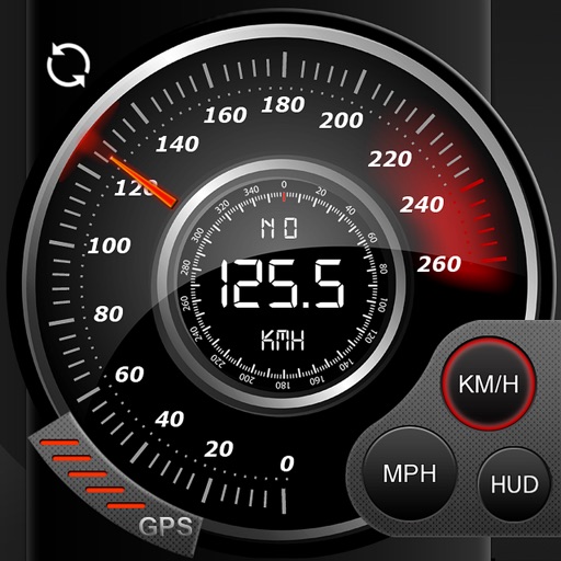
Display speed in miles per hour or kilometers per hour. Show altitude and direction. Switch units by tapping the screen. Track speed for cars, trains, buses, bicycles, and other vehicles.
Navigate, track, and access real-time data onboard
Access real-time marine data including navigation, wind speed, and water depth. Connect iOS devices to a boat's network for instant information. View critical data on a touchscreen interface. Sync with NMEA systems for accurate readings.
The app helps navigate time-speed-distance rallies with manual odometer entries. It allows for odometer calibration and tracking distance measurements in miles or kilometers.
The app provides offline GPS navigation for hiking and mountaineering, displaying the user's location on topographic maps. It allows users to record their routes and works without cell service.
Track vehicle locations and statuses in real time. Manage fleet operations, employee activities, and asset movements. Integrate GPS devices and customize solutions for business needs. Set alerts and monitor unit performance.