Capture photos with integrated map data and weather information. Adjust settings including grid, aspect ratio, and manual map options. Edit images with map overlays and share directly.
Calculate fuel burn with altitude, distance, and wind adjustments. Generate time tables for loiter, transit, and efficiency planning. Adjust for varying altitudes and wind conditions. Input mission-specific data for accurate results.
Track skiing or snowboarding sessions with GPS to record distance, route, speed, lift usage, calories, and more. Share recorded trips with photos. Sync with Apple Watch for real-time data. Set and monitor fitness goals.
The app records trips and displays tracks, position, and live information like speed and altitude. It measures distances, surface areas, and perimeters by placing points on the map.
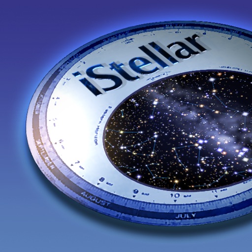
View the night sky from any location and time. Rotate and zoom the star chart using multi-touch gestures. Identify over 16,000 stars with names for 254. Simulate atmospheric distortion and twinkling effects.