Manage location data in the cloud with real-time tracking and remote access. View maps, update coordinates, and share locations. Set permissions and receive notifications for location changes. Export data in various formats.
by Steven Naimark★ 4.217 ratingsNavigationFreeData updated 2026-09-13
Find cell service coverage areas using real-time crowd-sourced data. View signal strength maps and compare carrier performance. Search for optimal locations to make calls or stay connected. Share coverage insights with others.
Monitor vehicle locations in real time with exact addresses and travel details. Receive instant alerts for geo-zone entries, speeding, theft, and SOS emergencies. Access historical data and generate reports on driving hours, distance, and fuel usage.
Manage and maintain with real-time data access. Inspect trail conditions, update infrastructure details, and collaborate with team members. Sync with web platform for updates and notifications.
Access emergency action plans, policies, compliance checklists, and material data sheets. View evacuation maps and diagrams. Download and share documents securely. Update and manage content remotely. Track document access and usage.
Identify plants based on location, flower color, and season. Search for matching species from 1,348 entries. View details on plant types including , shrubs, and trees. No internet required.
Track physical objects using barcode scanning. Locate items with GPS coordinates. Collect data on usage and location. Sync with desktop software and mobile . nd print barcode labels. View object history and current status.
The app displays tide times, light times, sunrise/sunset times, and moon phases for over 3200 locations. It does not require an internet connection, allowing users to view data anywhere.
Track electricity usage and monitor smart tariffs from Energy. Set up alerts for bill changes and energy usage. Compare tariff rates and view historical data. Manage account details and access usage reports.
View and analyze satellite hotspots and GPS data. Access topographic maps and AAHS/NWCG symbology. Import GeoPDF files. Use fire behavior calculators to assess conditions. Track location and monitor fireground activity in real time.
Explore and arrange spatial maps within your environment. Search for nearby locations and view detailed information. Check current location and view Look Around scenes on an infinite canvas. Stay aware of surroundings without navigation features.
Plan routes for multi-stop deliveries with real-time traffic updates and fuel cost estimates. Optimize delivery sequences to reduce travel time. Manage fleets by tracking vehicle locations and assigning routes.
Track vehicle location in real time using GPS. Receive alerts for unauthorized movement or tampering. Share location with pre-approved contacts. Activate remote vehicle recovery features.
Track hours of service and create DVIRs with electronic signatures. Capture and annotate inspection photos. Log activities with GPS location and time stamps. Sync logs to a cloud account for backup and access.
Track assets in real-time with historical data, map views, and list views. Monitor location and status updates. Receive alerts for movement or tampering. Export reports and integrate with enterprise systems for management.
Monitor and manage lithium battery systems with real-time state of charge tracking and AI-powered predictive analytics. View discharge timelines and charging progress. Set alerts for critical thresholds. Control battery operations remotely.
Identify plants based on location, flower color, and season. Search for matching species from 2,959 entries. View details on plant types including , shrubs, and trees. No internet connection required.
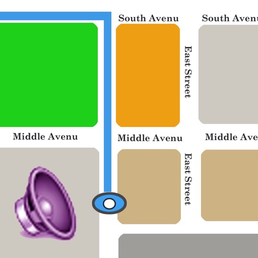
The app offers multiple ways to speak location data, including timer-based, gesture-based, and device-shaking triggers. Users can customize which location details are spoken and the order in which they are presented.
Manage property information and track insurance details. Set up maintenance schedules and access service provider listings. Share property data with trusted contacts and receive updates on service requests.
Explore state parks with detailed offline maps and trail info. Track distance from current location. View real-time weather for each park. Access wildlife and plant guides with Wikipedia links. Find park fee details.