Identify rocks, minerals, crystals, gemstones, and fossils by snapping photos. View detailed information on composition, formation, and cultural significance. Access educational content about geological properties and historical context.
Track individuals' locations using their number, contact list, or manual input. Send an SMS request to obtain precise GPS coordinates displayed on a map. Monitor real-time movement and view historical location data.
Locate natural resource sites on interactive maps. Search for gold, silver, and gemstone mines. View detailed information about over 300,000 locations. Filter by mineral type and geographic area. Save and share prospecting sites.
Send a text message request to locate another . The recipient's must be manufactured after 2010. View the on a map. No additional required on the recipient's device.
Take tests for driver’s licenses, including car, motorcycle, and commercial licenses. Review traffic laws and DMV procedures with AI-powered answers. Track progress and prepare for exams efficiently.
Plants using a photo. Provide species name, care instructions, and toxicity info. Offer detailed care tips and facts. Sync with other devices for continued learning.
Identify rocks, crystals, and minerals with photos
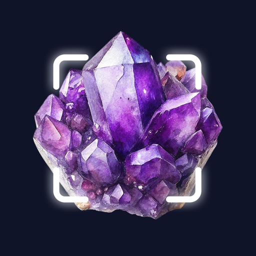
Identify rocks, crystals, minerals, and gemstones by uploading or taking a photo. Get instant results with accurate identification. Learn about over 6,600 types of stones and their properties. View detailed information and compare findings.
Identify rocks, minerals, and crystals by snapping photos. View detailed information including name, chemical composition, hardness, and more. Access a comprehensive database for accurate identification.
The app accesses soil survey information at the user's current location. It provides soil profile sketches, estimated proportions, geomorphic position, and map unit aggregate data.
Identify rocks and minerals by uploading photos or using detailed descriptions. Search for over 6000 types with advanced filters. View detailed information about each properties and classification.
Access geologic time scale data with a simple interface. View and scroll through eons, eras, periods, epochs, and ages. Select specific time divisions to see their names and numerical dates.
View and analyze satellite imagery for fishing conditions. Locate and track fish populations. Set waypoints and save maps. Share images and data with other users. Receive real-time updates on weather and currents.
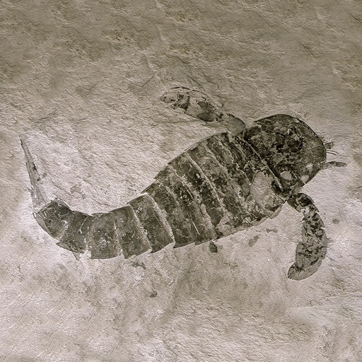
Explore dinosaur species with 3D and AR models. View HD reconstructions and real fossil images. Learn about prehistoric creatures through interactive content. Set facts and characteristics of over 600 dinosaur species.
Study for the Driver Knowledge with flashcards, a full question list, and practice exams. Review topics from the Manual. Take quizzes and track progress without an internet connection.