The app transforms a device into a construction calculator for feet, inches, and fractions. It performs calculations and conversions for various measurement units, including a triangle function for rise, run, diagonal, and pitch.
The app converts between DMS, DM, DD, UTM, and MGRS coordinate systems. It provides real-time GPS coordinates and calculates the distance between two points.
Land, fields, and property using GPS or manual input. Place markers on the map or walk boundaries to calculate , distance, and perimeter. Choose units like square meters or square feet. Save and share measurements.
Perform complex calculations with scientific functions and RPN mode for efficient input. Access 54 math functions including logarithms, square roots, factorials, trigonometry, and coordinate conversions.
The app provides 2D vector drawing and design for iPad and iPhone. It offers unique offset controls for precise finger-based editing and supports iCloud synchronization with its Mac version.
Performs X, Y, R radius calculations and theta measurements. It includes -specific functions for ducting offsets and angle computations. Features dimensional math, geometry, and trigonometry tools for precise construction calculations.
Lets users measure distances and areas on maps. They can plot a radius around a point with customizable color and size. Share map images to indicate routes, areas, or radii. Export maps as images for documentation or communication.
Provides calculations for DIY and tasks. Users can convert units and solve equations using decimal or fractional inputs. Save calculations, organize favorites, and email inputs and results for sharing.
Measure objects using AR by aiming your camera and dragging a virtual ruler. Calculate height, width, length, and area. View real-time measurements and save results for later reference.
Measure land , distance, and perimeter using GPS. Create projects, add team members, and sync measurements in real time. Set permissions for different roles and collaborate on shared projects. Export data and view detailed reports.
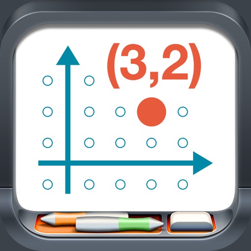
Model points and lines on a plane with colored elements and pair labels. Use a 19x15 grid or dot/square grid. Display tables of values and sliding axes. Graph ordered pairs, distance, and transformations. Plot ratios, rates, and linear equations.