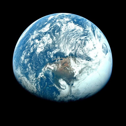
View real-time maps and track tropical cyclones. Explore global cloud patterns and hurricanes. Access forecasts and world for cities. Display a 3D simulation of with accurate star renderings. Rotate and zoom the for different perspectives.
Check hourly and 10-day forecasts with humidity, precipitation, pressure, and visibility details. View wind direction and speed. See 'feels like' temperature and UV-index. Track live rain, snow, drizzle, and hail radar. Save unlimited locations.
View real-time maps for severe alerts. Check hourly and daily forecasts. Track precipitation, temperature, and barometric pressure. Receive storm and disaster warnings. Monitor current conditions and historical data.
View real-time maps with high-resolution layers. Track tropical cyclones, storm cells, and lightning strikes. Access up to 12 hours of data. Plan activities based on accurate predictions.
Track live activity and view real-time weather updates with radar. Receive warnings and follow development paths for current and upcoming events. Monitor severe weather patterns including hurricanes, tornadoes, and typhoons.
Track hurricanes, cyclones, and tropical storms with interactive maps and real-time updates. View NOAA forecasts and satellite imagery. Search historical storms from 1851 or 1949. Receive push notifications for weather warnings.
View satellite imagery and time-lapse data to analyze features. Compare images using an A/B slider. Visualize environmental data like air pollution, vegetation, and sea ice. Explore unfiltered satellite views from the ESA’s Sentinel-2 satellites.
Get real-time updates and 24-hour forecasts. View 15-day predictions and lifestyle indices for daily planning. Receive alerts for extreme conditions. Track current temperature, precipitation, and wind speed. Adjust settings for location and units.
Access breaking , articles, and videos from global and local sources. Watch live coverage and sports updates. Stream channel. Listen to podcasts and documentaries. View in-depth analysis and verify authenticity.
The app provides tide charts and current predictions for stations worldwide. It displays tide information, including water level changes, high and low tide times, and sun and moon rise/set times.
Receive real-time earthquake alerts via push notifications based on location and magnitude. View interactive maps with colored circles indicating event magnitude and age. Track earthquake timelines for today and yesterday.
Monitor earthquakes with real-time global tracking and push . View live maps showing seismic activity. Search for specific details. Receive free, customizable without restrictions.
View detailed NWS/NOAA forecasts with a tap on the map. Access 7-day forecasts including text summaries, spot and zone , snow accumulation, and severe hazards.
Track storms, hurricanes, and lightning strikes with real-time . Receive severe alerts and hourly forecasts with precipitation details. View wind speed and gusts for up to 24 hours. Plan activities based on accurate insights.