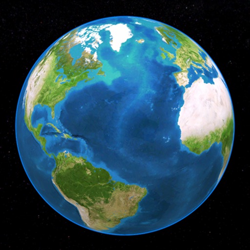
Identify landmarks, cities, natural sites, and UNESCO World Heritage sites from satellite views. Choose from 190 landmarks, 168 cities, 109 natural sites, and 651 UNESCO sites across 10 countries. Zoom in and out to examine details.
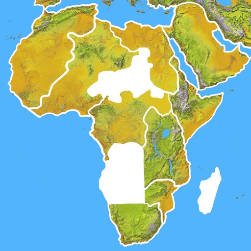
Learn country capitals, landmarks, and geographic locations through interactive gameplay. Drag and drop animated countries to match their correct positions. Earn points by correctly placing countries and track progress with a score system.
Create and complete national flags by filling blank spaces with colors. Use hints to learn country details. Test IQ by matching elements. Paint flags of multiple countries. Save and share completed designs.
Through quizzes on flags, capitals, maps, landmarks, and cultures. Complete bite-sized lessons covering all countries. Track progress with certificates and test advanced knowledge.
Prepare for the U.S. Naturalization with official Civics questions and USCIS guidelines. Study all 128 new questions, track progress, and review answers. Set study goals and access updated materials for preparation.
Track travel progress by marking and regions on a map. Read descriptions and explore nearby sites. Record World Heritage Sites . Select a favorite country for quick access. Sync progress with iCloud and share the map with friends.
Place countries, territories, and landmarks on a 3D globe. View capital cities and major landmarks. Explore high-resolution maps with translucent oceans. Learn about geography through interactive placement and detailed locations.
With interactive lessons. Tap a letter to hear its pronunciation and view a pop-up description. The description includes initial, middle, and final spelling, letter name, and sound details.
Learn by identifying countries, provinces, and flags on interactive maps. Take quizzes to test knowledge. Receive instant feedback and track progress over time. Sync data across devices for continued learning.
Provides national flag images and historical information. Users can search for by country name or code. View current and past flag designs with descriptions. Share flag images directly.
Explore country maps with detailed location data and access comprehensive fact book information. Search for country-specific details, view retina vector maps, and navigate between locations with intuitive zoom and pan features.
Explore countries through interactive flags on a dynamic map. Tap to view interesting facts. Track travel progress with a pie chart showing visited countries. Add visited locations to update progress. Share travel achievements with others.
Explore country profiles with population, languages, government, and GDP data. Access high-resolution and regional views. Download national flags and offline. Search for locations and view detailed geographical information.