Track outdoor activity with GPS navigation, add waypoints and routes for navigation. Plan routes with altitude data and adjust as needed. Capture moments and save maps for future reference.
Get current coordinates in latitude/longitude and MGRS format along with altitude, course, and speed. Toggle features on or off to customize the interface. View accurate location data for navigation purposes.
Monitor speed with real-time tracking of distance, average, and maximum speed. View speed data on the lock screen or dynamic island. Record sessions with graphical summaries and export data. Set up live activities for ongoing speed monitoring.
The app records trips and displays tracks, position, and live information like speed and altitude. It measures distances, surface areas, and perimeters by placing points on the map.
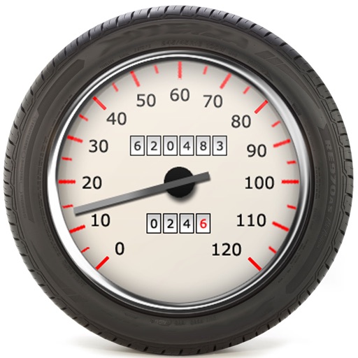
The app calculates speedometer error based on different tire dimensions. It can identify tire sizes that minimize speedometer error when using non-manufacturer recommended wheel diameters.