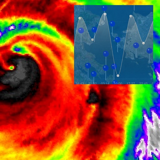
View real-time data from sources. Check predicted high and low tides. Set location-based alerts. Track water levels and currents. Share observations with others.
by NextStack LLC★ 3.65 ratingsWeather$49.99Data updated 2026-09-13
The app provides tidal information for Sydney and NSW locations, including low and high tide times, sunrise, sunset, and tide heights. Users can select future dates to plan trips and access information without an internet connection.
View radar imagery with 250-meter resolution. Receive severe alerts and forecasts. Check real-time conditions and storm tracking. Access exclusive content from 7. Get updates from Arkansas' top meteorologists.
The app provides tide times for over 600 Australian locations, functioning offline without a signal or data connection. It includes interactive tide graphs, sunrise, sunset, moon phase, and Apple Watch support.
Access depth and marine charts for USA, Canada, UK, and other regions. Locate spots with AI-driven breakline analysis. Create or import boating routes with GPS and voice navigation. View HD bathymetry and sonar contours for precise planning.
Access real-time forecasts for recreational and coastal areas. View severe weather updates and tide information. See rain radar every 7.5 minutes and 3-day rainfall forecasts with wind barbs. Check surface pressure maps.
Navigate using high-resolution satellite imagery for Bay and Copper River watersheds. Access updated for accurate route planning. View real-time environmental changes. Mark and save fishing spots. Share locations with crew members.
Track spots with global maps and tide charts. View marine weather forecasts and AI-based fish activity predictions. Plan trips with smart scheduling and receive real-time updates for optimal conditions.
The app provides access to station content and a 250-meter radar with future radar capabilities. It includes high-resolution satellite imagery, current weather updates, and daily/hourly forecasts.
View detailed NWS/NOAA forecasts with a tap on the map. Access 7-day forecasts including text summaries, spot and zone , snow accumulation, and severe hazards.
Check current and extended forecasts with 16-day daily and 400-hour hourly data. View interactive maps showing temperature, rain intensity, and cloud coverage. Customize widgets and receive real-time notifications for weather updates.
Access fishing regulations and seasonal restrictions for State waters. View species-specific rules, required licenses, and catch limits. Check closed areas and bag limits. Download printable permits and maps.