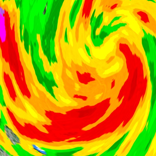
View real-time alerts for storms, floods, heatwaves, and cold snaps. Access a color-coded radar map to track developing threats. Receive notifications based on your location.
Access real-time data with high-resolution radar and satellite imagery. View current conditions and forecasts updated hourly. Add and save favorite locations. Use integrated GPS for location-based alerts.
Provide hyper-local forecasts for 350,000 European locations. Display mountain and valley conditions, , and real-time updates. Track trends and receive alerts for severe conditions. Share forecasts with others via social media or messaging.
Access current conditions and a 7-day forecast. View real-time radar and satellite imagery with 250-meter resolution. Receive storm alerts, school closings, and road condition updates. Track future radar movements.
The app displays current work zones, incidents, and weather-related road conditions on Missouri state routes. Information impacting travel is automatically loaded, with weather radar refreshed approximately every five minutes.
View current and forecasted data for any location. Access live radar updates and precipitation maps. Track temperature, wind speed, humidity, and pressure. Set location reminders and receive alerts for severe conditions.
Check current conditions with hourly forecasts and detailed wind data. View snowstorm tracking and Doppler radar. Access navigation and live webcams. Get hyper-local forecasts for multiple cities worldwide.
View current updates multiple times per hour. Access high-resolution satellite imagery and 250-meter radar. Add and save favorite locations. Receive hourly forecasts with daily and hourly predictions. Use integrated GPS for location-based data.