Navigation provides flight planning and in-flight calculations. Users can customize quick access buttons, configure units, and adjust keypads. Features include real avionics look, flight data entry, and performance calculations.
by Gonzalo Esteban Astica Capra★ 3.84 ratingsNavigationFreeData updated 2026-09-13
Track detailed logs with Hobbs and Tach time. Record multiple destinations and routes. Assign multiple pilots to flights. Add maintenance notes and document details. Manage aircraft schedules and access operational data in one platform.
Track aircraft position using device GPS. View real-time data including altitude, speed, and heading. Access weather information and airport details. Set and monitor plans. Receive alerts for airspace changes and terrain obstacles.
Displays wind rose and location details including name, latitude, longitude, and altitude in meters or feet. Saves position data for any global location. Requires location services to detect geographical position.
Convert temperature between Celsius, Fahrenheit, and Kelvin
Convert temperatures between Celsius, Fahrenheit, and Kelvin with instant results. Display formulas for calculations. Save and share conversion results with detailed formulas. Works offline and supports multiple languages.
Log flight details including numbers, airports, OOOI times, approaches, passengers, and crew pairings. Add custom fields for pilots and flights. The suggests common approaches and airports based on flight history.
Calculates flight metrics for takeoff, landing, climb, cruise, descent, and emergency scenarios. It includes a customizable Weight and Balance calculator with crew and passenger weight storage.
Pilots can upload Garmin avionics data files to generate TBM Reports. Select SD card location to view log files. Choose recent flights or specify a time frame for upload. Generate detailed approach analysis reports.
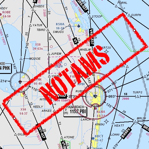
Assists pilots with interpreting NOTAMs, METARs, TAFs, and Area Forecasts. It decodes acronyms and contractions for both inflight and ground use. Users can search for details and weather reports.
FA World provides Alaska Airlines Flight Attendants with consolidated layover hotel information. The app includes shuttle times, hotel website links, directions, amenities, and a phonebook with relevant work numbers.
Calculate and oxygen consumption based on altitude. Display ranges as colored rings on an interactive map. Adjust altitude to see updated range projections. Show overlapping airports with sufficient resources for safe landing.