
SkyPilot GPS Dashboard
Christoph Schulz
Track location, speed, and heading
Track location, speed, altitude, and heading using built-in GPS. Customize with widgets for quick access. View real-time movement data and adjust settings for navigation.

Measure pressure and track altitude
Measure atmospheric pressure and altitude using built-in GPS and pressure sensor. Automatically calibrate readings with local meteorological station data. Display current pressure and elevation levels. Save historical data for reference.
Showing 141–160 of 1,000 ranked alternatives.
Christoph Schulz
Track location, speed, and heading
Track location, speed, altitude, and heading using built-in GPS. Customize with widgets for quick access. View real-time movement data and adjust settings for navigation.

Evgeny Tormozov
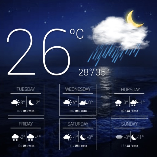
Check radar, track storms, view forecasts
Check current weather with customizable widgets on Home and Lock screens. View hourly and 14-day forecasts. Access real-time UV Index and Air Quality Index. Explore interactive 3D Earth globe with Doppler radar maps and precipitation data.



SHIGETO TAKAGI
Measure temperature with GPS accuracy
Measure ambient temperature using GPS and display in . Show temperature in a badge with below-zero values indicated. Convert to Fahrenheit with a formula. Include barometric pressure readings from the pressure sensor.
BSOFT VIET NAM JOINT STOCK COMPANY
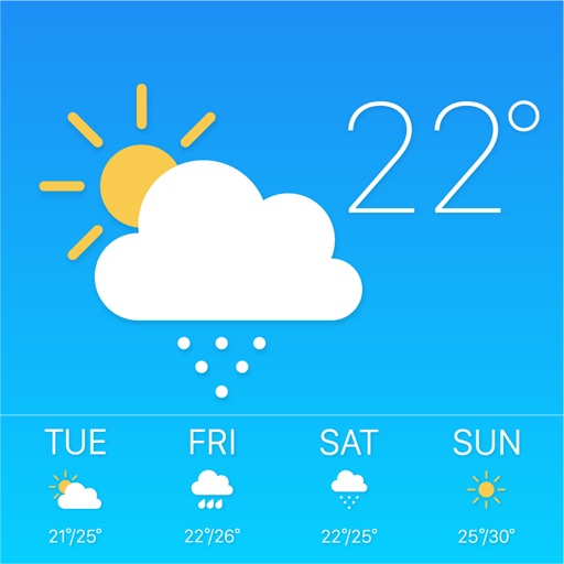
Up to 24 hours and 15 days
Check current and 24-hour forecasts. View 15-day predictions with detailed rain, storm, ice, and snow alerts. Receive real-time updates for local conditions. Plan activities based on accurate data.

BALLISTIC SOLUTIONS RESEARCH & DEVELOPMENT SOFTWARE SIARHEI RAICHONAK
Jet tune for 2-strokes
Calculate optimal and spark plug settings for 2-stroke MX bikes based on temperature, altitude, humidity, atmospheric pressure, and fuel type. Fetch real-time weather data via internet or use internal barometer for accurate readings.



Joerg Nestele
Discover elevation with sensor data.
The app measures the elevation of locations within a 500-meter radius using device sensors and internet-based geo information. It calculates altitudes in real time and displays them in meter or feet.

Yetii Ltd.
Monitor device and export data
Monitor device data including , network usage, and system information. Record logs over time and export data in various formats. View detailed device specifications and track changes in real-time. Remove ads with a purchase.

Aeroapps Technology, LLC
Calculate flight data with precision
Calculate groundspeed, true heading, compass heading, leg time, distance, fuel required, fuel flow, and endurance for flight planning. Convert airspeed, altitude, and temperature.

WeatherFlow
Set up and connect your sensor
Set up and configure sensor device via WiFi. Monitor real-time temperature and humidity. Receive lightning and rain alerts. View accurate local forecasts. Track conditions continuously.
LionsApp di Nallbati Elton
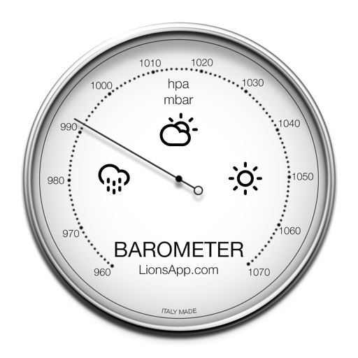
Atmospheric pressure and climatic conditions.
The app displays atmospheric pressure and climatic conditions based on the user's location. It supports multiple units for pressure measurement and tracks the last reading with intuitive graphics.


DTN Germany GmbH.
Detailed weather information for locations.
The app provides 7-day forecasts in 3-hour periods for 2 million locations. It includes details on temperature, wind, pressure, precipitation, humidity, UV index, and extreme weather alerts.

EONSOFT
Track altitude, max, and min elevation
Display current, maximum, and minimum altitude using GPS. Switch between meters, feet, and yards. Adjust scale increments of 10, 100, 1000, or 10000. Track altitude changes during hiking or travel.

Apps are ranked by functional similarity, category fit, rating confidence, and popularity.