The app allows users to track contacts' locations in real time on maps and send instant messages. Users can also get directions to a friend's location and search for nearby places.
Map displays locations globally on a map. Search venues by keyword. Tap icons to view details. Launch or Swarm apps for more options. Show current coordinates and act as a GPS receiver.
Real-time vehicle location and arrival predictions.
The app provides real-time vehicle location information and arrival predictions. Users can view an interactive map showing shuttle locations, browse routes and stops, and access schedules.
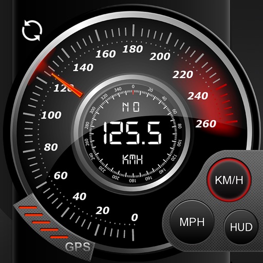
Record data including , average , distance, altitude, and elapsed time. View real-time GPS tracking with longitude and latitude. Monitor statistics and save history. Sync with devices for offline navigation.
Navigate using distance and direction without a map. Set destinations and receive step-by-step guidance. Track progress and view distance metrics. Works independently on Apple Watch with GPS.
View speed cameras and checks, including fixed, average, red light, trailer, and mobile types. Check bus, train, and tram departures. Find parking availability and electric car charging stations. View accidents, hazards, and roadworks.
Capture photos with integrated map data and weather information. Adjust settings including grid, aspect ratio, and manual map options. Edit images with map overlays and share directly.