The app provides access to charts, tides, and ActiveCaptain information for trip planning and navigation. It integrates NOAA and CHS vector cartography, displays tide levels and current speeds, and stores the ActiveCaptain database offline.
The app provides indoor navigation within equipped buildings. Users can download guides for offline use, search for destinations, and receive optimal route guidance.
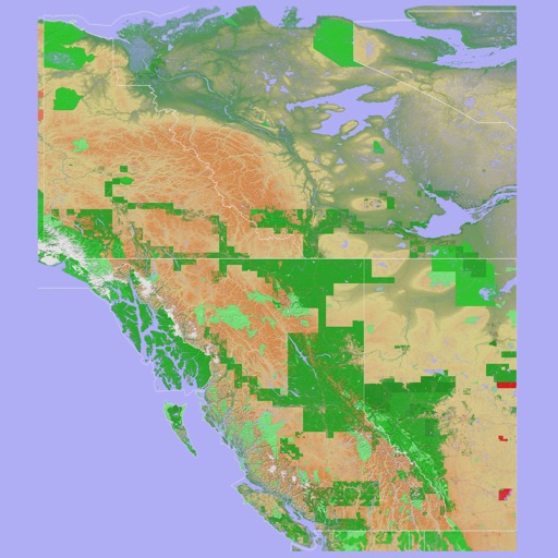
The app provides a 3D topographical map of Western Canada. Map data downloads to the device for use without an internet connection, allowing users to view terrain features as small as ten meters.