Record and display GPS-based measurements with a map line. Share results on social media. Obtain current location via GPS. Option to minimize battery use without GPS. Does not run in the background.
Measure angles of elevation, slope, and incline using device motion. Determine roll angles for vehicles and aircraft. Calculate roof pitch and antenna look angles. Align pictures and measure tape or chain slopes.
The app provides tools for geologic, geophysical, engineering, and geographic work. It estimates geophysical quantities and converts coordinates between geographic and Universal Transverse Mercator systems.
Create plans by measuring spaces with your camera and augmented reality. Save plans as image, PDF, or SVG. Edit plans, add notes, and calculate square footage. Works on ARKit-enabled devices.
Tracks location, speed, altitude, heading, acceleration, g-force, and atmospheric pressure. Retrieves and displays current weather data. Records tracks up to 10 minutes or 10 kilometers. Plays back tracks at multiple speeds.
The app records user trips, displaying tracks, position, and live information like speed and altitude. It also measures distances, areas, and perimeters by placing points on the map.
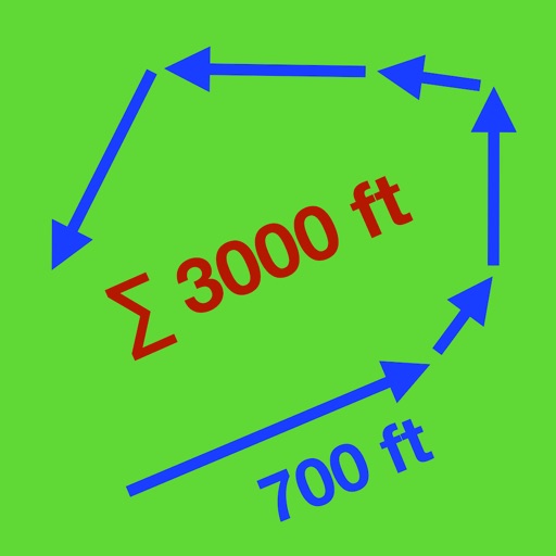
Track routes by enabling location and pressing record to start while walking or riding. Stop recording to suspend, pause to add new sections, and manage segments by connecting gaps or removing points. Relocate the entire as needed.
Measures , areas, and volumes using augmented reality. Users can object heights and save results in the Health . Measurements can be stored as images and viewed in metric or imperial units. Supports 10 languages and pre-defined object measurements.
Trace paths on maps to analyze elevation, distance, gradient, and bearing. View elevation and grade profiles of traced routes. Calculate area of arbitrary paths. Use satellite or default map views for terrain study.
Calculate volume for slabs, footings, columns, walls, and stairs in cubic yards, feet, or meters. Estimate needed, determine weight and bag requirements. Calculate rebar spacing and truckloads.
Lets users measure distances and areas on maps. They can plot a radius around a point with customizable color and size. Share map images to indicate routes, areas, or radii. Export maps as images for documentation or communication.