Apps Like GPS Status ∞ Coordinates for iPhone and iPad
View real-time GPS location
Monitor real-time GPS accuracy and switch between latitude/longitude and DMS formats. Copy with one tap. Toggle between metric, imperial, and nautical units. View location data quickly with a simple, reliable interface.
by Chen-Yu Wei★ 4.43,267 ratingsUtilitiesFreeData updated 2026-09-13
Displays altitude using a digital readout and an analog gauge. Tracks maximum height reached during use. Shows altitude accuracy and sensor quality. Utilizes GPS and barometric sensor for precise measurements.
Convert units of measure in text, on websites in Safari, and live in the camera view. Automatically switch between Metric, Imperial, and U.K. systems. Select preferred units for automatic .
Use your phone's camera to measure objects, calculate areas, and create floor plans. Access AR measure, , and level tools. Save measurements and switch between metric and imperial units.
Calculates sun and positions with 0.3% accuracy. Determines sunrise and sunset times. Provides moonrise and moonset times. Adjusts for elevation and time zone.
The app provides amateur radio logging and tools for portable or mobile operation. It offers contact logging, rig control, and various data integrations for radio enthusiasts.
Measure areas using GPS or manual map points for accurate calculations. Switch between and distance modes. Save measurements for later access. Use compass navigation for directional guidance.
The app provides mapless navigation using GPS and compass data. It allows users to drop markers, search for destinations by address or placename, and view locations on a map.
Calculates air volume, pressure loss, velocity, and duct size for rectangular or round ducts. Supports both imperial and metric units. Users input values to determine required dimensions and system performance.
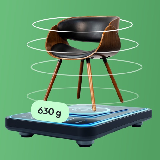
Measure object dimensions with camera using AI-powered image analysis. Capture and analyze multiple objects in a single photo. Save and share measurement data. Convert units between inches, centimeters, and feet.
Customize dashboards with configurable gauges like speedometer, odometer, GPS altimeter, barometric altimeter, accelerometer, artificial horizon, compass, and elapsed time. Swipe to switch views and access real-time sensor data from iPhone or iPad.
Display multiple videos or images on a single in customizable grid layouts. Play videos with sliding controls for playback, volume, looping, and speed adjustments. Record and save videos. Lock to prevent accidental touches.
Navigate with compass, location, altitude, and speed
Navigation displays true and magnetic , current location, altitude, and speed. Users can track movement and view detailed compass readings. Features a clean, intuitive interface with a modern flat design.