Apps Like GPS Status ∞ Coordinates for iPhone and iPad
View real-time GPS location
Monitor real-time GPS accuracy and switch between latitude/longitude and DMS formats. Copy with one tap. Toggle between metric, imperial, and nautical units. View location data quickly with a simple, reliable interface.
by Chen-Yu Wei★ 4.43,267 ratingsUtilitiesFreeData updated 2026-09-13
Monitor trip data with live metrics like average speed, current speed, top speed, distance, direction, travel time, stationary time, and clock. Customize display style and speed units. Arrange metrics on screen.
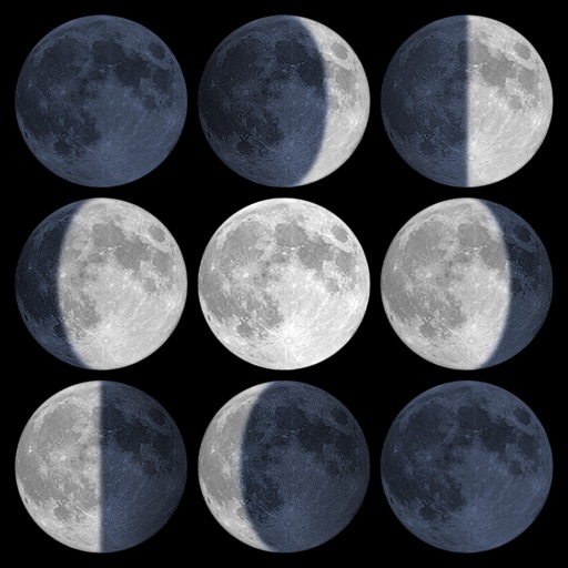
Calculate sunrise, sunset, moonrise, and moonset times based on GPS location or selected locations. Track moon phases and twilight times. Save multiple locations and sync calendars for upcoming events. Support timezone selection and iPad Split View.
Track , distance, and performance with real-time GPS data. Display in mph and km. Log trips and view historical records. Set alerts and monitor journey details. Sync data across devices for ongoing performance analysis.
The app converts between geodetic and grid coordinates. It supports multiple formats for latitude, longitude, and grid coordinates, along with various datums and projections.
Measure angles, check flatness, take real-size measurements
Measure angles with real-time sensor precision. Check surface flatness in horizontal and vertical orientations. Use an on-screen ruler for real-size measurements. Support both metric and imperial units.
Find latitude and longitude coordinates of your current location in decimal degrees and degrees-minutes-seconds. Tap coordinates to copy to clipboard. Save coordinates with a custom name. Share coordinates via email or messaging.
Calculate ballistic trajectories with detailed data including 4000 cartridges and 3300 reticles. Visualize trajectories, compare different cartridges, and adjust for barometric pressure, altitude, temperature, and wind.
Display your current GPS location on a map instantly. Manually search for places, cities, or states. View and share exact coordinates via copy/paste or direct sharing.
Track speed in using units like meters per second, miles per hour, and kilometers per hour. Display speed in English or Spanish. Allow users to request additional language support.
Track location using latitude and longitude coordinates alongside Grid Locator System coordinates. Convert between coordinate systems. Display current position in both formats simultaneously.