Apps Like We Maps 04 | 3D + 2D World Map for iPhone and iPad
Explore with 3D and 2D views
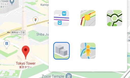
View 3D and 2D side by side. Tap or hold to specify locations. Adjust 3D map angles. Search for addresses and locations. Use compass and GPS. Access real-time traffic data. Switch to full screen. Search Wikipedia. Control map zoom from Apple Watch.
by Makoto Katsumata★ 4.51,632 ratingsNavigationFreeData updated 2026-09-13
The app provides maps of Switzerland in two resolutions. Users can draw lines on the map in the direction measured by the iPhone, showing distance and azimuth to the pointed location.
Find nearby craft breweries with real-time map updates. Zoom and pan to view locations. Access addresses, phone numbers, and details about each brewery. Share brewery visits via social media, messaging, or email.
Pole locations in Montréal. Search for pole numbers to view on a map. Navigate offline without internet connection. Pin locations for quick access. Share pole details with others.
Find the nearest station using GPS. View detailed routes with transfer points. Quickly access any station via the stations index. See station order and transit options on each line. Display high-resolution maps for clear navigation.
The app provides a compass for direction, a map for location and navigation, and an altimeter for measuring height above sea level. It also offers a sharing feature to send current positions with pictures and text to contacts.
Cultivate Agricultural Intelligence, Limited Liability Company
Navigate and explore the ranch map offline
View locations and roads on the ranch using an interactive map. Access offline maps for navigation. Search for points of interest and zoom in for detailed views. Save favorite locations for quick access.
The app provides a route map with a station index and line overviews. It includes day and night maps, GPS support to find nearby stations, and high-resolution graphics.
Explore historical and memories of Arnolds Cove through GPS-triggered audio narration and visual content. View photographs, maps, and details as you walk. Take a virtual tour by tapping locations on a town map.
View artist profiles, styles, and locations on a map. Add and share street art with contact information. Explore art globally and navigate to specific artworks.
List stations by line and view the Metro General Map. Search for stations and locate them using geolocation. Manage favorite stations and use the . Premium version removes ads and enables unlimited usage.
Find Points of Interest with detailed categories including hotels, restaurants, hospitals, and tourist attractions. Search for locations, view , and access offline routes and POI data.