
Map Tracks - gps logger
Christoffer Sjoeberg
Track speed, distance, and trips
Log trips with real-time speed, direction, and distance tracking. Store past journeys for review. Export trip data as GPX, KML, or GeoJSON for use in other applications.

Showing 161–180 of 1,000 ranked alternatives.
Christoffer Sjoeberg
Track speed, distance, and trips
Log trips with real-time speed, direction, and distance tracking. Store past journeys for review. Export trip data as GPX, KML, or GeoJSON for use in other applications.


University of Louisiana at Monroe
Send alerts, request escorts, share safety updates
Send messages, photos, and videos to university safety forces about crime tips or suspicious behavior. Request a safety escort for campus walks. Use FriendWatch to let friends and family track your location during specific activities.

Hamad International Airport
Navigate airport terminals and gates
Navigate the airport using an interactive map. Access real-time flight information. View details about airport services and facilities. Locate shops and restaurants within the airport.


Futurefleet Inc.
Bus routes and real-time tracking.
The app provides users with nearby bus routes and walking navigation to the nearest stops. It allows users to track bus locations in real-time and find transfer information, including operating times and routes.
Pac Servicos Em Sistemas Ltda - ME
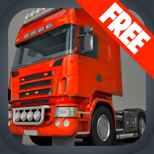
Drive a 3D truck simulator game.
The app simulates driving a 3D truck through a beautiful and dangerous landscape. Users can select from six camera views and control the truck with a steering wheel, acceleration, and brake pedals.



Jacob White
Earthquake map and notification tool.
The app displays an earthquake map and provides earthquake notifications. Users can sort earthquakes by magnitude, distance, or time.


Atthaporn Chanprakon
Aaron Parecki
Track location and send data to
Tracks location and sends data to a chosen server, saving data when offline and transmitting in batches. Configure tracking settings for detailed logs or battery-efficient mode. Monitor bike rides, runs, walks, car trips, and train journeys.

iSpyFire, Inc.
First responders get vital emergency data.
The app provides first responders with data and information for emergency response. It offers features like call notification, location, and map layers for fire, police, and EMS agencies.


Louisiana State University
Alert safety forces and share crime tips
Send text messages, photos, and videos to university safety forces in emergencies. Use Safety Check to connect with peers for added security. Report crime tips and suspicious activity directly to safety personnel.


欣明 封
Rotate duck, track , customize outfit
Customize a duck character with various outfits. Rotate the duck 360° for positioning. Track with a spinning propeller that reacts to real-time GPS data. Activate Night Mode for reduced eye strain during nighttime driving.
Apps are ranked by functional similarity, category fit, rating confidence, and popularity.