Coordinates can be viewed and shared via decimal degrees, degrees-minute-seconds, degrees-minute-decimal, UTM, and military grid systems. Users can tap a map to retrieve coordinates and directions.
by Xuan Luong Do★ 4.6660 ratingsUtilitiesFreeData updated 2026-09-12
Store locations, track coordinates, save snapshots
Store custom locations mapPoints. Add current , addresses, coordinates, or pins. Save snapshots of locations for travel, hunting, or . View and manage stored on a map.
A displays cardinal directions and uses GPS to determine location. It features a realistic virtual interface, shows geographical directions, and helps users navigate effectively.
Track location, speed, and altitude with real-time GPS data. Use a digital compass for direction. Access weather information and tag locations. Share coordinates and view maps.
Digital measures ambient temperature using GPS and displays it in . Shows temperature in badge format with below-zero indicators. Includes to Celsius conversion calculator with formula.
Tests network performance to identify if traffic is restricted or prioritized for specific apps and ports. Users run tests to check network behavior and contribute to research on net neutrality.
Track speed, distance, altitude, and heading using GPS. View latitude and longitude coordinates. Monitor sunrise and sunset times. Record acceleration data. Save journey logs for later review. Share trip details via email or social media.
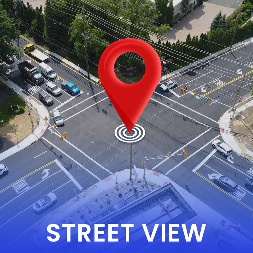
Real-time 3D maps with GPS navigation. Access HD views for current locations and addresses. Get driving directions and traffic updates. Receive voice-guided routes for navigation. Sync with global earth map for location-based insights.
Track using augmented reality to locate them in real time. Check visibility angles and determine if satellites are above 35 degrees. View details on 5G satellites and upcoming launches.
Find direction based on true north. Display compass and direction indicators. Support English and Arabic languages. No advertisements. Lightweight and simple interface for easy navigation.
Track physical objects using barcode scanning. Locate items with GPS coordinates. Collect data on usage and location. Sync with desktop software and mobile . nd print barcode labels. View object history and current status.
Monitor location, heading, pressure, temperature, altitude, speed, distance, and elapsed time in real-time. Track trips, share routes, and receive comprehensive built-in instructions. Customize settings and view data on a large, easy-to-read display.