Measure with high precision using internal sensors. Display directions and elevation changes. Track location and movement patterns. Set alerts and receive notifications. Sync data with external devices for detailed analysis.
The app provides a heads-up display of airports and essential information, including distance, bearing, elevation, and runway length. Users can filter results for paved runways over 10,000 feet.
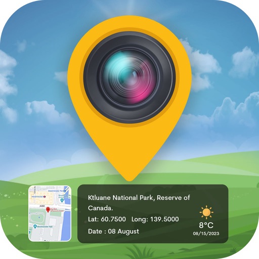
Track altitude with real-time measurements. Use a sensitive compass for accurate direction. Capture latitude and longitude data via camera. Monitor atmospheric pressure and magnetic field readings. Check real-time location data and sync with maps.