Provides nautical navigation for various vessels using S57 vector charts. Displays real-time position, depth, and surrounding hazards. Allows route planning and waypoint management. Includes tidal and current data for accurate navigation.
by anton van oosten★ 0.00 ratingsTravelFreeData updated 2026-09-12
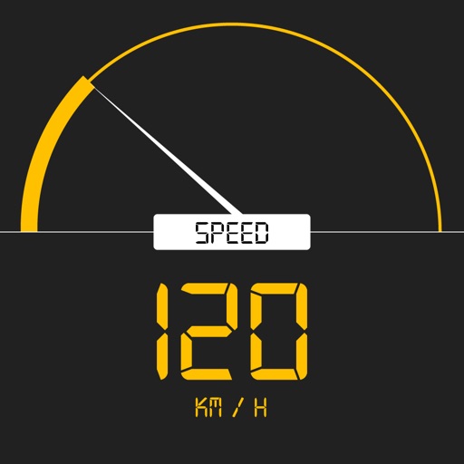
Tracks current, maximum, and average speed using GPS. Displays speed in analog and digital formats with colorful LED. Records distance traveled and trip time. Functions as a trip meter and for vehicles, walking, running, biking, and boating.
Access real-time flight updates and receive notifications. Book airport services and pre-order food. Use an interactive map for terminal navigation. Automatically connect to Wi-Fi. Chat with a bot for airport inquiries.
Calculate prayer times during flights using waypoint coordinates and altitude. Determine prayer times en route with ground speed and track data. Sync with flight plans for accurate timing.
Navigate with real-time route planning and step-by-step directions. View maps with pan and zoom capabilities. Access offline maps and station information. Search for stations and plan journeys.
Display directions and current location data. View altitude, barometric pressure, and coordinate details. Navigate using coordinates and save location bookmarks. Track sunrise and sunset times. Show solar elevation and azimuth angles.
Navigate TTC transit system with real-time route planning and step-by-step directions. View maps, bus routes, and schedules. Tap to tap PRESTO card for fare payments. Track your location and receive updates on service delays or disruptions.
Plan trips with real-time schedules and route details. Find transfer options, ticket prices, and travel times. Access nearby locations and navigation within the . View site maps and service info. Function without internet connectivity.
The app connects to APRS-IS, allowing users to view live stations, look up details, message other hams, and beacon their position. It displays station information, tracks, and weather data with customizable map layers.
The app provides electronic charting and real-time navigation using hi-res vector charts. It supports route planning, tracking, and live AIS ship overlay with alarms, working offline with selectable chart layers.
Navigation provides real-time subway information and accurate route planning with transfer options, time, cost, and distance. Set arrival alerts for stations. Access nearby dining, shopping, and entertainment info with one-click navigation.
Plan trips with real-time maps and accurate route details. Find transfer options, travel time, ticket costs, and distances. Access nearby locations and navigate offline without internet.
Navigate to destinations with turn-by-turn directions. Access real-time weather radar for current location. Integrate with CarPlay for in-car navigation. Search for destinations and view updated weather during trips.
Track speed with accurate GPS measurements and view average and maximum speed per trip. Choose units and monitor distance traveled and estimated travel time. Use turn-by-turn navigation to build routes.
Navigate to any destination with turn-by-turn directions and route planning. View real-time traffic updates to avoid delays. Get voice-guided directions and adjust routes on the fly.
The app tracks ship positions in real time using data from AIS transponders. It provides vessel details, search capabilities, movement history, and photos.