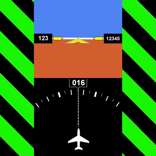
Track changes using a barometer and set reference pressure and altitude. View real-time altitude and adjust landscapes based on time of day. Use compass for orientation during hiking and outdoor activities. Compare differences between two points.
Track , distance, and direction with a digital and analog . Set custom distance values. Switch between portrait and landscape modes. Display in MPH, KM/H, and KNOTS. View altitude, maximum , and average with the Pro Pack.
Add GPS data including date, time, latitude, longitude, altitude, weather, and compass to . Share geotagged images with friends to show travel locations. Track live location and embed it into captured .
Track aircraft movements in real-time on a detailed map. View details including destination, aircraft type, and altitude. Use device camera to identify planes and check status. Receive alerts for changes and delays. Share data with others.
Provide accurate GPS coordinates and altitude readings. Display direction and map integration. Enable location-based reminders and track movement routes. Adjust settings for different navigation modes.
The app provides access to device GPS functionality, displaying heading, compass, map views, speed, distance, coordinates, and altitude. It also offers weather information including temperature, humidity, pressure, cloud cover, and wind speed.
Measures altitude using barometric pressure. Adjust Kollsman setting for current barometer or set to 29.92 inches of mercury. Syncs with iPhone 6 and later models using Apple and Bosch sensors. Does not support older iPhone or iPad models.
Provides GPS altitude and pressure altitude readings. Displays speed in kph, mph, and knots. Measures barometric pressure in multiple units. Tracks acceleration in G forces. Shows location, magnetic, and true heading.
Tracks location, speed, altitude, heading, acceleration, g-force, and atmospheric pressure. Retrieves and displays current weather data. Records tracks up to 10 minutes or 10 kilometers. Plays back tracks at multiple speeds.
Track speed and distance in miles and kilometers. Monitor real-time speed and display maximum and average speeds. Check speed limits and receive warnings for speed and red light cameras. Access offline maps and view weather conditions.
Calculate , altimeter setting, relative air , and relative humidity using GPS, weather data, and the phone's barometer. Track specific humidity in grains per pound. Suitable for pilots, engine tuning, and outdoor activities.
Track wind conditions with detailed forecasts, maps, and compass readings. Monitor wind speed, direction, and gusts. Receive push notifications for wind alerts and storm warnings.
Monitor with real-time updates. Set configurable limits with four presets. Alert with color change and sound when exceeding limits. Emit loud sound for speeding alerts. Track during driving. S.O.S. mode for flat tyre emergencies.
Display current speed using GPS and show speed limits via online checks. Alert when exceeding speed limits. Track weather, temperature, odometer, altitude, and average/max speed.