View and analyze GPX and KML files to explore existing tracks or plan new routes. Display detailed maps with waypoints, paths, and elevation data. Share tracks via email or social media. Sync with GPS devices for real-time navigation.
Track real-time locations of contacts on a live map. View detailed history and set geo-fence alerts. Share updates with selected people. Receive notifications when contacts enter or exit defined areas.
Track outdoor workouts with real-time maps and activity monitoring for hiking, cycling, running, or walking. View detailed statistics including distance, pace, and elevation. Save and review data without requiring an account.
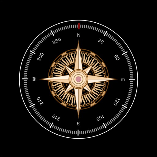
Displays current with a large degree reading and a pointing arrow. Shows cardinal directions and a rotating rose. Includes a flashlight for low-light visibility. Provides accurate north orientation for land and marine navigation.
Guide users to align dishes using GPS for accurate direction. Display positions and help locate the signal. Provide step-by-step instructions for dish installation and signal optimization.
Navigate trails and routes using detailed and turn-by-turn directions. Track location and elevation. Save favorite spots and share routes. Import GPX files and set waypoints. View terrain and land features for outdoor exploration.
The app provides access to peak information, route descriptions, route maps, and trailhead details for Colorado's 14ers. Users can access necessary information even when off the grid and record tracks for export.
Track speed, distance, altitude, and heading using GPS. View latitude and longitude coordinates. Monitor sunrise and sunset times. Record acceleration data. Save journey logs for later review. Share trip details via email or social media.
The app displays current heading, course, speed, coordinates, and altitude. It offers street, topographic, and aerial maps, with cached maps available for a day.
Search routes for accurate and optimized navigation. Use voice guidance for hands-free directions. Find nearby locations like restaurants and gas stations. Adjust simulated GPS locations for testing or privacy. Share current with contacts.