Add time stamps, GPS coordinates, and exact addresses to photos and videos instantly. Enable grid, aspect ratio, switch, flash, focus, and timer settings. Store user locations automatically and reverse-geotag addresses.
Read the Qur’an with translations and smooth navigation. Listen to recitations and follow along. Get accurate and athan reminders based on location. Find Qibla direction using a compass. Build daily habits with duas, adhkar, and reminders.
Track prayer times for all five daily prayers with accurate calculations based on your location and selected date. View times for any day by tapping or swiping. Access a Qibla Compass to determine the direction of prayer using your current location.
Provides turn-by-turn navigation using Street View to avoid getting lost. Users can assess route safety and steepness before traveling. Save time and costs by previewing destinations without visiting them.
Monitor , distance, and travel statistics in real time. Display data on a heads-up display for easy viewing. Track performance metrics and save session data for later review. Sync with devices to share results.
Monitor real-time vehicle data including location, speed, and status updates every ten seconds. View altitude, address, and ignition status. Access tracked object information without refreshing or relogging in.
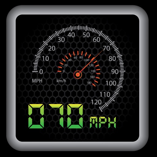
Switch between car and bike cyclometer modes. Set high and low speed limit alerts. Use HUD mode for display. Toggle between mph and km/h. Choose imperial or metric units. Calibrate speed and check GPS accuracy.
Capture photos with embedded GPS coordinates, date, and time stamps. View map overlays and location details directly in images. Share geotagged photos with precise timestamps and location data.
Navigation allows users to save locations using the red cross on a map. Users can retrieve saved locations by following a red arrow in Augmented Reality.