Displays latitude, longitude, and using GPS. Shows atmospheric pressure and boiling point of water at current location. Provides elevation data above sea level. Offers ad-free experience via in- purchase. No functional limitations.
Track location in real-time using GPS. View maps and save travel routes. Record details including speed, distance, and altitude. Share location with others. Set waypoints and receive turn-by-turn navigation. Sync data across devices.
Measure areas, distances, and perimeters with precise pin placement. Mark and save measurements, name and group them for easy access. Share measured maps with colleagues directly.
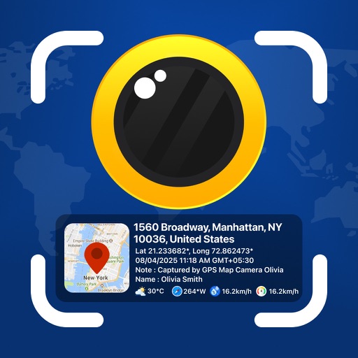
Photos and videos with real-time location, date, time, latitude, longitude, altitude, and weather data. Capture timestamps during拍摄. View map-based location pins for each media file. Export geotagged files with embedded metadata.
Measure lengths with a ruler supporting metric and imperial units. Detect ambient noise levels using a decibel meter. Use a protractor tool to measure angles via the camera. Calibrate screens for accurate color display.
Track speed with accurate GPS measurements and view average and maximum speed per trip. Choose units and monitor distance traveled and estimated travel time. Use turn-by-turn navigation to build routes.
Navigate with GPS maps and real-time traffic updates. Use voice search to plan trips. View street-level details and measure areas on the map. Get turn-by-turn directions and track driving routes. Sync with satellite data for accurate navigation.
View current speed with a scalable . Track total distance and trip data including max and average speed. Export trip data as GPX, CSV, or KML files. Receive alerts when speed exceeds or falls below set limits.