Manage projects, track progress, and share updates
Manage construction projects with budget tracking, material calculations, and scheduling tools. Input measurements for custom cuts and view progress reports. Sync across devices and export data in multiple formats.
Provides GPS navigation with fast lock time and precise parameters. Supports multiple systems including GPS, Galileo, GLONASS, and QZSS. Diagnoses location issues and suggests fixes. Includes latitude, longitude, and WGS84 by default.
Measure dimensions, angles, and distances using augmented reality. Tap the camera to scan objects and receive precise measurements. Save and share measurement data. Sync with other devices for collaborative projects.
Monitor elevation with a large, clear display that adjusts to your device. Choose between GPS or barometric sensors. Track real-time elevation changes. View barometric pressure in multiple units. Display accuracy details visually.
Measure areas and distances on maps by placing points and calculating the between them. Save and edit measurements. Switch between different units for distance and . Calculate total of a route or individual segments.
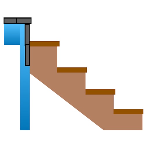
Calculate risers, run, angle, length, step height, tread depth, and number of steps. Adjust parameters for customization. Switch between Imperial and Metric units. Email or text results as needed.
Measure land , distance, and perimeter using GPS. Create projects, add team members, and sync measurements in real time. Set permissions for different roles and collaborate on shared projects. Export data and view detailed reports.
Calculate measurements with addition, subtraction, multiplication, and division. Convert between decimals and fractions. Display results directly on a visual interface. Mark precise positions without manual calculations.
Objects, lengths, angles, areas, and heights using augmented reality. Switch between metric and imperial units. Take screenshots, use flashlight, and draw clear measurement lines. Perform single or chained measurements and estimate person height.
Allows users to measure spaces using laser meters to create detailed floor plans. It includes doors, windows, countertops, cabinets, and plumbing fixtures.
Measure distances and angles using a rangefinder and inclinometer. View GPS coordinates and map overlays. Take geo-tagged photos and videos. Use a compass and navigation calculator for orientation and route planning.
Calculate material needs for patios using seven estimators: concrete slab, pavers, paver base, polymeric sand, sand & gravel, area, and volume. Input dimensions in inches, feet, yards, centimeters, or meters.
Convert property deeds or legal descriptions into plat drawings. Supports feet, meters, and varas. Calculate area, perimeter, and closing error. Auto-complete tracts if the last call is missing. Work with multiple tracks in a single drawing.