
States XL
Piet Jonas
Locate USA states and capitals easily.
The app displays each state of the USA on a map. Users can select states from a list or jump to random states using a shake gesture.

Showing 641–660 of 1,000 ranked alternatives.
Piet Jonas
Locate USA states and capitals easily.
The app displays each state of the USA on a map. Users can select states from a list or jump to random states using a shake gesture.

Lakehorn AG
Magnetic variation for any location.
The app calculates magnetic variation using the World Magnetic Model. It supports any location and year between 2025 and 2029 or the current date.
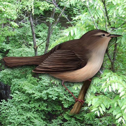
Tahito Aoki
Analog clock with bird voices.
The app tells time using the voices of 19 kinds of birds. Users can customize time signals and enjoy forest sounds while the application is running.

InformationPages.com, Inc
Search businesses by location and sort
Search for businesses by location or city. View addresses, phone numbers, websites, emails, ads, coupons, and other business details. Sort results by distance or relevance. Switch between list and map views. Zoom and scroll to explore areas.

Museums Board of Victoria
Explore Australian Capital Territory Fauna Species
The app features over 400 species of Australian Capital Territory fauna, including mammals, birds, and reptiles. Each profile contains descriptions, photographs, distribution maps, and endangered status, with audio for some animal calls.

Paul Havemann
Explore trails and access safety guides
The offers a map with trail guidance and mile markers to track distance from trailheads. It provides safety information for hikers of all abilities. It includes details about the biodiversity of the .



Monterey Bay Marine Sanctuary Foundation
Explore Monterey Bay Marine Life Images
The app offers over 1,650 images of 631 marine species from the Monterey Bay National Marine Sanctuary. Users can browse species by name or functional group, with over 130 species including ecological details.


Design Chaos Pty Ltd
Find Australian dump points easily.
The app helps users find dump points across Australia. It displays dump points on a map or list, showing distance and travel time, with additional details available.


Tony Gunton
Record local wildlife sightings and locations.
The app helps users record wildlife sightings, capturing location coordinates and providing checklists. Users can view records on a satellite map, email them, or add new species to the database.

Apps are ranked by functional similarity, category fit, rating confidence, and popularity.