Track flights by logging and improving them using Vario with sensor fusion and sound alerts. Monitor ground speed, altitude, wind speed, and direction. View live maps and fly with friends. Sync with Apple Watch.
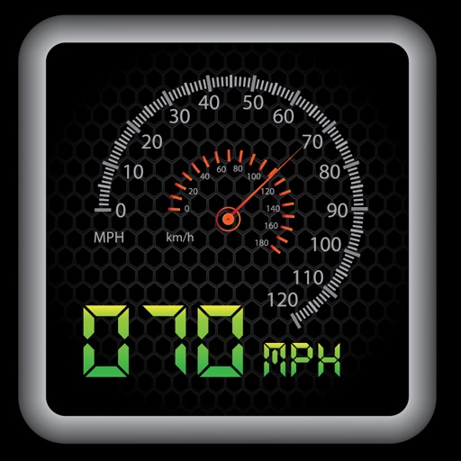
Vehicle with GPS for cars, bikes, and boats. Display in mph, km/h, and knots. Use analog ranges for different vehicle types. Monitor odometer readings for distance traveled.
Measure magnetic field strength in microtesla units across x, y, and z axes. Display total magnetic field magnitude. Detect Earth's magnetic field and identify permanent magnets or electromagnetic fields.
Track trails with precise GPS mapping and save waypoints. Measure distances and elevation changes. Share routes and view real-time navigation updates. Sync with other devices for collaborative exploration.
Navigation allows users to save locations using the red cross on a map. Users can retrieve saved locations by following a red arrow in Augmented Reality.
The app provides access to device GPS functionality, displaying heading, compass, map views, speed, distance, coordinates, and altitude. It also offers weather information including temperature, humidity, pressure, cloud cover, and wind speed.
Plan and manage aircraft missions with DIY trip creation and editing. Add flight legs to build itineraries. Access shared trips for team collaboration. Coordinate complete missions with Universal Weather and Aviation's tools.
Tool provides communication frequencies and runway details for major U.S., Hawaii, and Alaska airports. Filter by state or type. Search by name or IDENT code. View runway configurations and approach information.
Detect hidden cameras and spy devices with real-time scanning. Identify connected devices on your network. Evaluate device types and signal strength. Locate devices on a map. Block suspicious connections. Receive alerts for new devices.
Detect cameras and microphones by scanning Bluetooth devices and Wi-Fi networks. Identify suspicious lenses using magnetometer data. Lock and disable detected devices to secure personal space.
Display speed, heading, and trip data using GPS. Choose between mph, km/h, and kts units. Show current and next 24-hour weather based on location. Track altitude, odometer, and drive details.
Create passage plans by selecting waypoints from a database. Calculate true course and distance. Automatically determine magnetic variation and derive magnetic heading.
The app provides a heads-up display for a car, offering GPS-based speed information with MPH and KPH options. It includes digital and standard font modes, 12 and 24-hour clock options, and portrait and landscape orientations.
Track speed, average speed, maximum speed, and directional speed. Measure velocity made good and wind speed. Calculate the Pilot Performance Index to assess flight performance. Compare results with others or against autopilot settings.