The app records user flights with details including date, duration, aircraft, and airports. It offers statistics on flight numbers, durations, and aircraft usage, along with backup and restore tools.
Navigation provides turn-by-turn directions, map views, and route planning. Track location and movement with . Switch between Stand-Alone and Network modes. Save and share trip logs. Set waypoints and measure distances.
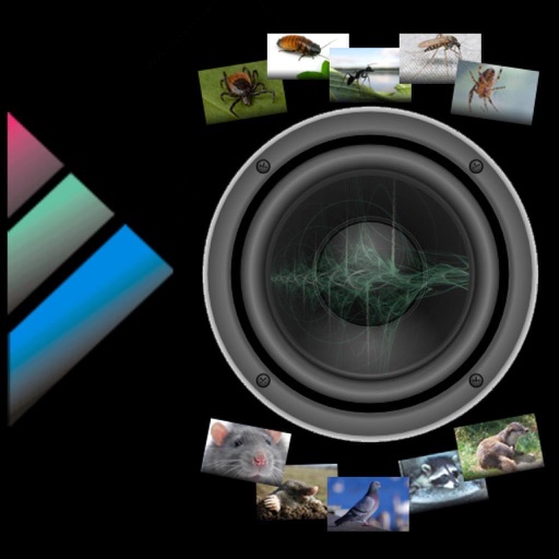
The app provides a list of animals and vermin that can be affected by high-frequency tones. Different animals respond to specific frequencies, with varying results depending on the individual animal.
Navigation allows users to plot courses, measure distances, and mark waypoints on digital charts. It supports traditional navigation methods without GPS, including manual plotting and paper chart integration. Users can save and share route data.
Access live view during camera installation to adjust viewing angles. Modify camera settings and preferences remotely. Playback recorded driving footage and manage storage. Connect to compatible cameras via Wi-Fi.
Business journeys by logging trips with start and end locations. Calculate and record automatically. View and edit past entries. Sync data with corporate capture systems. Receive notifications for upcoming trips.