Track vehicle locations and status in real time with live updates on movement and ignition. View units, geofences, and event markers on maps with location detection. Monitor detailed parameters from specific units.
by Sky Telecom, Inc.★ 5.02 ratingsNavigationFreeData updated 2026-09-12
Share real-time locations and travel history of contacts. Set custom sharing periods and permissions. Receive alerts for location changes and emergencies. View detailed maps and movement history. Invite contacts to share locations securely.
Monitor vehicle locations and view travel history in real time. Manage fleet units and access motion data. Track historical movement and receive alerts for unauthorized activity.
Track with high-precision GPS. Record trips and display real-time data on a head-up display. Receive speeding alerts. Navigate with integrated map support. distance, time, and elevation. Share trip data.
Convert units and currencies across hundreds of categories with real-time exchange rates updated every 6 hours. Calculate mortgages, loans, tips, and fuel consumption. Edit, create, or download customizable templates for various conversions.
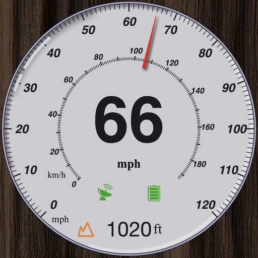
GPS measures and displays speed for walking, jogging, cycling, cars, boats, trains, and airplanes. Users can select display units and choose between two scales. Trip recording and average speed tracking are available.
Track real-time locations of contacts on a live map. View detailed history and set geo-fence alerts. Share updates with selected people. Receive notifications when contacts enter or exit defined areas.
Track vehicles in real time using GPS. Monitor driver behavior and vehicle performance. View location history and receive alerts for unauthorized movements.
Plan routes, share locations, and navigate off-grid
Plan and execute missions with real-time GPS navigation, coordinate teams through integrated communication tools, and manage tasks with mission-specific software. Track location, receive alerts, and access offline maps for remote operations.
Access real-time METAR, TAF, and NOTAM data for global airports. Plan and save flight routes with offline storage. Sync data via iCloud. View briefings and pilot reports. Track conditions and flight-related alerts.
Connect to vehicle, lock, unlock, process customer
Manage vehicle alarms by connecting to the unit, lock and unlock features, and process customer information. Access requires a pre-authorized SWDS Account.
Track vehicle speed with a digital speedometer showing current, average, maximum speed, and total distance. Use offline mode for uninterrupted performance. Access two HUD modes for windshield display. Choose from 10 themes for customization.
Track real-time locations of loved ones on a live map. View accurate coordinates for family members. Access comprehensive history for past movements. Receive notifications for updates. Set up geofences to monitor specific areas.
Uffizio India Software Consultants Private Limited
Track vehicles and monitor routes
Track vehicle movement in real time with GPS. View current location, speed, and route history. Set geofences and receive alerts. Access maps and navigation features. Share location with others. Control device remotely.
Schedule shifts by searching for specific days, units, and shift lengths. Customize search preferences and save favorite settings. Receive notifications for available shifts and apply directly through the .