

Apps Like nacmaps for iPhone and iPad
nacmaps screenshots
Ranked alternatives
Showing 541–560 of 1,000 ranked alternatives.


U of T Map
University of Toronto
Navigate the U of T campus easily.
The app provides a layered map for the U of T community, featuring search terms like "library" and "registrar". It includes layers for accessibility, food, student services, parking, and more, with building information and available offices.

GPS Utility
DIMENSION S.r.l.
Convert geographic coordinate systems easily.
The app converts between DMS, DM, DD, UTM, and MGRS coordinate systems. It provides real-time GPS coordinates and calculates the distance between two points.


BeRoads
Lionel Schinckus
Navigate Belgium with real-time traffic updates
View real-time traffic via webcams on Belgian freeways. Check traffic incidents sorted by distance. Access a detailed map of Belgium. See fixed and mobile radars. Report issues or suggest improvements via email or social media.
Scenic Map Western Canada
Mark Granger
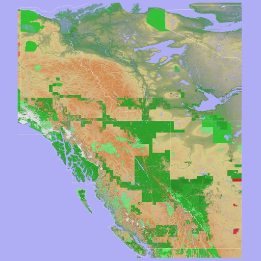
3D topo map of Western Canada
The app provides a 3D topographical map of Western Canada. Map data downloads to the device for use without an internet connection, allowing users to view terrain features as small as ten meters.
Scenic Map Eastern Canada
Mark Granger
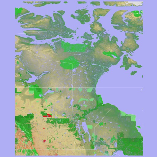
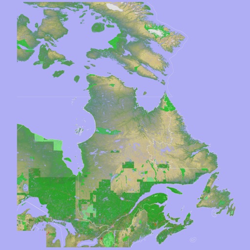
3D topographic map of Eastern Canada
The app presents a 3D topographic map of Eastern Canada. Users can download map data for use without an internet connection, suitable for various travel methods.

SafePilot by Trelleborg
Trelleborg Marine Systems Denmark A/S
Professional maritime piloting software from Trelleborg.
The app provides navigational data and chart display with multiple orientations. It supports S-57 and S-63 Charts and includes a vessel database for logging handled vessels.


e-charge
OPM E-CHARGE S.R.L.
Find charging stations and track sessions
Find and locate EV charging stations in real time. Check station availability and view detailed profiles. Track charging sessions and manage account settings. Navigate to stations using integrated maps.


How we rank alternatives
Apps are ranked by functional similarity, category fit, rating confidence, and popularity.