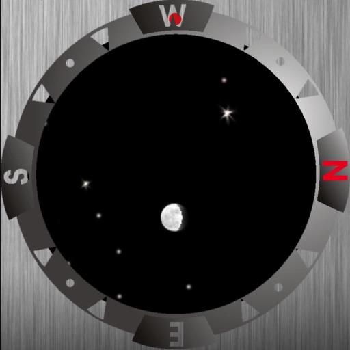
This displays directions in Japanese or English with a single tap. It shows 16 directional points, precise angles in degrees, and supports switching between cardinal names and abbreviations.
by hiroyuki uchida★ 4.834 ratingsNavigationFreeData updated 2026-09-12
The app provides a reference for marine chart symbols, abbreviations, and terms. It includes over 800 entries, a search function, and a sample chart with popups.
Provides precise readings with deviation error measurement and correction. Displays map navigation and augmented reality features. Tracks map markers and functions in all device orientations.
Track trips with distance, time, and average speed calculations. Forecast arrival times using waypoints. Monitor GPS and OBD sensor data in real time. View detailed vehicle performance metrics. Sync with external GPS devices for enhanced navigation.
Create designs with unlimited styling options. Choose from preset themes or save personal layouts. Add and resize pointers and stickers freely. Switch between magnetic and true North settings.
Track and distance in miles and kilometers with real-time updates. Switch between KM/H and MPH modes. Display average and maximum . Show altitude and compass. Monitor GPS signal accuracy. Use analog . Work offline without internet.